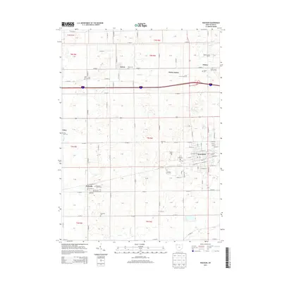
2013 Map of Wauseon
USGS Topo · Published 2013About this map
Wauseon serves as the primary hub for this Fulton County landscape, where the street grid expands outward near the Fulton County Fairgrounds. To the north, the small settlements of Ottokee and Ottokee Station represent the area's agricultural roots, situated near the Fulton County Airport. The territory is remarkably dense with family and community burial grounds, providing a significant resource for local genealogists. From the Eckley Amish Cem in the west to the Tedrow Cem, Aeschliman Cem, and Lena Cem further south and east, these sites reflect the diverse religious and familial history of the region. Waterways like Brush Cr and N Turkeyfoot Cr wind through the township sections, while Pettisville sits at the southwestern edge of the quadrangle. This 2013 survey illustrates the persistent rural character of northwestern Ohio, punctuated by recreational spaces like the Ironwood Golf Course.
Find a feature on this map
69 named features on this map. Tap any name to fly to it.
Don’t see what you’re looking for? This feature index may not catch every label — zoom into the map to look around manually.
Map Details
Editions of this 2013 Wauseon Map
This is the sole edition of this map. No revisions or reprints were ever made.
Other maps of this area

1907 · Defiance
USGS Topo · 1:62,500

1908 · Napoleon
USGS Topo · 1:62,500

1909 · Defiance
USGS Topo · 1:62,500

1911 · Wauseon
USGS Topo · 1:62,500

1913 · Wauseon
USGS Topo · 1:62,500

1913 · Alvordton
USGS Topo · 1:62,500

1943 · Wauseon
USGS Topo · 1:62,500

1944 · Alvordton
USGS Topo · 1:62,500

1953 · Fort Wayne
USGS Topo · 1:250,000

1956 · Fort Wayne
USGS Topo · 1:250,000