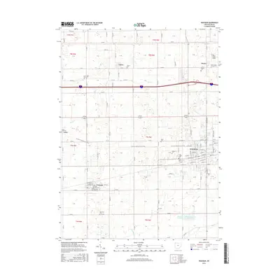
2016 Map of Wauseon
USGS Topo · Published 2016About this map
The county seat of Wauseon serves as the focal point of this Northwest Ohio landscape, which maintains its rural character despite the intersection of modern infrastructure. The town's grid is detailed with residential streets like E Elm St and Jefferson, while the Fulton County Airport lies to the northeast near Ottokee. This survey documents a significant density of genealogical sites, including the Fulton County Infirmary Cem and numerous family-named burial grounds such as Aeschliman Cem and Mikesell Cem.
Find a feature on this map
45 named features on this map. Tap any name to fly to it.
Don’t see what you’re looking for? This feature index may not catch every label — zoom into the map to look around manually.
Map Details
Editions of this 2016 Wauseon Map
This is the sole edition of this map. No revisions or reprints were ever made.
Other maps of this area

1907 · Defiance
USGS Topo · 1:62,500

1908 · Napoleon
USGS Topo · 1:62,500

1909 · Defiance
USGS Topo · 1:62,500

1911 · Wauseon
USGS Topo · 1:62,500

1913 · Wauseon
USGS Topo · 1:62,500

1913 · Alvordton
USGS Topo · 1:62,500

1943 · Wauseon
USGS Topo · 1:62,500

1944 · Alvordton
USGS Topo · 1:62,500

1953 · Fort Wayne
USGS Topo · 1:250,000

1956 · Fort Wayne
USGS Topo · 1:250,000