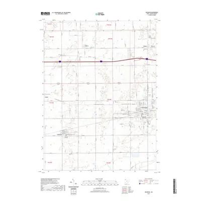
2019 Map of Wauseon
USGS Topo · Published 2019About this map
Wauseon serves as the administrative heart of Fulton County, anchored by the Fulton County Courthouse and its Western District annex. The landscape reflects a well-ordered grid of section roads and township lines, where small agricultural settlements like Tedrow, Ottokee, and Pettisville punctuate the farmland. These communities maintain deep historical roots, evidenced by a dense network of burial grounds including the Eckley Amish Cem and Pettisville Mennonite Cem, which speak to the area’s religious and cultural heritage.
Find a feature on this map
68 named features on this map. Tap any name to fly to it.
Don’t see what you’re looking for? This feature index may not catch every label — zoom into the map to look around manually.
Map Details
Editions of this 2019 Wauseon Map
This is the sole edition of this map. No revisions or reprints were ever made.
Other maps of this area

1907 · Defiance
USGS Topo · 1:62,500

1908 · Napoleon
USGS Topo · 1:62,500

1909 · Defiance
USGS Topo · 1:62,500

1911 · Wauseon
USGS Topo · 1:62,500

1913 · Wauseon
USGS Topo · 1:62,500

1913 · Alvordton
USGS Topo · 1:62,500

1943 · Wauseon
USGS Topo · 1:62,500

1944 · Alvordton
USGS Topo · 1:62,500

1953 · Fort Wayne
USGS Topo · 1:250,000

1956 · Fort Wayne
USGS Topo · 1:250,000