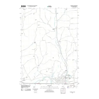
2010 Map of Waverly
USGS Topo · Published 2010About this map
The Chemung River valley anchors this detailed 2010 study of the New York-Pennsylvania border, where the communities of Waverly, East Waverly, and Chemung transition from the river flats into the hills of Tioga County. The map documents a complex landscape of rural cemeteries and family-named terrain, including Hicks Cemetery in the northwest and Price-Simcoe Cemetery near Putnam Hill. The southern edge of the quadrangle is defined by the heavy infrastructure of the Norfolk Southern railroad line and the concentrated residential developments of North Waverly and Cedar Park Terrace.
Find a feature on this map
148 named features on this map. Tap any name to fly to it.
Don’t see what you’re looking for? This feature index may not catch every label — zoom into the map to look around manually.
Map Details
Editions of this 2010 Waverly Map
This is the sole edition of this map. No revisions or reprints were ever made.
Other maps of this area

1902 · Waverly
USGS Topo · 1:62,500

1903 · Owego
USGS Topo · 1:62,500

1905 · Watkins Glen
USGS Topo · 1:125,000

1906 · Catatonk
USGS Topo · 1:125,000

1923 · Towanda
USGS Topo · 1:62,500

1926 · Towanda
USGS Topo · 1:62,500

1939 · Sayre
USGS Topo · 1:62,500

1942 · Sayre
USGS Topo · 1:62,500

1943 · Towanda
USGS Topo · 1:62,500

1948 · Sayre
USGS Topo · 1:62,500