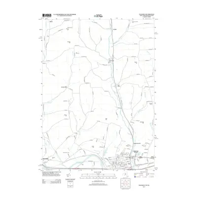
2013 Map of Waverly
USGS Topo · Published 2013About this map
The Chemung River winds through the southern edge of this Tioga County landscape, defining the valley floor where the concentrated settlement of Waverly and its adjacent neighborhoods like East Waverly and North Waverly are situated. The town's grid is dense with civic identifiers including the Waverly Stadium and several prominent burial grounds such as Waverly Cem and Saint James Cem. To the west, the village of Chemung sits near the riverbanks, anchored by the Chemung Cem and the Chemung Golf Course.
Find a feature on this map
160 named features on this map. Tap any name to fly to it.
Don’t see what you’re looking for? This feature index may not catch every label — zoom into the map to look around manually.
Map Details
Editions of this 2013 Waverly Map
This is the sole edition of this map. No revisions or reprints were ever made.
Other maps of this area

1902 · Waverly
USGS Topo · 1:62,500

1903 · Owego
USGS Topo · 1:62,500

1905 · Watkins Glen
USGS Topo · 1:125,000

1906 · Catatonk
USGS Topo · 1:125,000

1923 · Towanda
USGS Topo · 1:62,500

1926 · Towanda
USGS Topo · 1:62,500

1939 · Sayre
USGS Topo · 1:62,500

1942 · Sayre
USGS Topo · 1:62,500

1943 · Towanda
USGS Topo · 1:62,500

1948 · Sayre
USGS Topo · 1:62,500