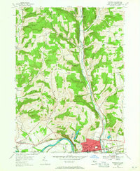
1954 Map of Waverly
USGS Topo · Published 1956About this map
Waverly anchors the southern edge of this mid-century survey where the Chemung River meets the Pennsylvania border. The village is a dense rail hub, defined by the convergence of the Lehigh Valley and Erie RR lines, which cut through the landscape alongside an abandoned canal segment. To the north, the terrain rises into the hills of Baldwin and Barton, characterized by a network of rural schoolhouses and churches that served isolated farming communities.
Find a feature on this map
67 named features on this map. Tap any name to fly to it.
Don’t see what you’re looking for? This feature index may not catch every label — zoom into the map to look around manually.
Map Details
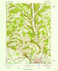
Editions of this 1954 Waverly Map
2 editions found
Other maps of this area

1902 · Waverly
USGS Topo · 1:62,500

1903 · Owego
USGS Topo · 1:62,500

1905 · Watkins Glen
USGS Topo · 1:125,000

1906 · Catatonk
USGS Topo · 1:125,000

1923 · Towanda
USGS Topo · 1:62,500

1926 · Towanda
USGS Topo · 1:62,500

1939 · Sayre
USGS Topo · 1:62,500

1942 · Sayre
USGS Topo · 1:62,500

1943 · Towanda
USGS Topo · 1:62,500

1948 · Sayre
USGS Topo · 1:62,500