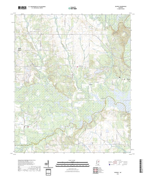
2024 Map of Waverly
USGS Topo · Published 2024About this map
Tibbee Creek winds through the heart of this landscape, marking the boundary where the lowland wetlands meet the higher ground of eastern Mississippi. The area is defined by its complex hydrology, with numerous oxbows and water bodies like Moon Lake and Fortson Lake situated in the bottomlands. This survey illustrates the rural character of the settlements at Stephen and Waverly, showing a distribution of homes and farms connected by local roads such as Old Waverly Rd and Melton Bottom Rd.
Find a feature on this map
83 named features on this map. Tap any name to fly to it.
Don’t see what you’re looking for? This feature index may not catch every label — zoom into the map to look around manually.
Map Details
Editions of this 2024 Waverly Map
This is the sole edition of this map. No revisions or reprints were ever made.
Other maps of this area

1953 · West Point
USGS Topo · 1:250,000

1958 · West Point
USGS Topo · 1:250,000

1959 · Artesia
USGS Topo · 1:62,500

1959 · West Point
USGS Topo · 1:62,500

1960 · Caledonia
USGS Topo · 1:62,500

1960 · Columbus
USGS Topo · 1:62,500

1963 · West Point
USGS Topo · 1:250,000

1982 · West Point
USGS Topo · 1:100,000

1984 · West Point
USGS Topo · 1:250,000
1987 · Hamilton
USGS Topo · 1:24,000