
1942 Map of Waverly Mills
USGS Topo · Published 1962About this map
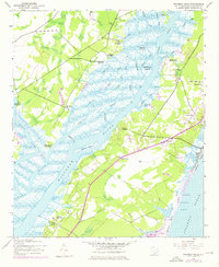
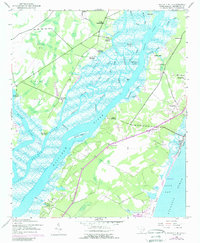
The Waccamaw River and Pee Dee River converge in this mid-century survey, revealing a landscape defined by its historic riverfront estates and vast tidal wetlands. The river corridors are lined with named properties such as Arundel Plantation, Darlington Plantation, and Arcadia Plantation, reflecting the region's agricultural heritage. Toward the coast, the Intracoastal Waterway cuts through the marshlands east of Waverly Mills, a hub of local activity.
Find a feature on this map
47 named features on this map. Tap any name to fly to it.
Don’t see what you’re looking for? This feature index may not catch every label — zoom into the map to look around manually.
Map Details
Editions of this 1942 Waverly Mills Map
3 editions found
Other maps of this area

1942 · North Island
USGS Topo · 1:24,000

1942 · Magnolia Beach
USGS Topo · 1:24,000

1943 · Carvers Bay
USGS Topo · 1:24,000

1943 · Brookgreen
USGS Topo · 1:24,000

1943 · Plantersville
USGS Topo · 1:24,000

1943 · Georgetown North
USGS Topo · 1:24,000

1943 · Georgetown South
USGS Topo · 1:24,000

1947 · Georgetown South
USGS Topo · 1:24,000

1949 · Georgetown
USGS Topo · 1:250,000

1967 · Georgetown
USGS Topo · 1:250,000