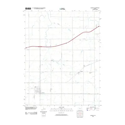
2009 Map of Waverly
USGS Topo · Published 2009About this map
Waverly and the nearby community of Agricola anchor this Coffey County landscape, where an organized grid of county roads meets the natural curves of the Kansas prairie. The town of Waverly is clearly defined by its street plan, including W 4th St and 1st St, and is served by the large Waverly Cemetery to its northeast. The area is heavily marked by its water systems, including the meandering Rock Creek and its tributary Willow Creek, alongside specialized land features like Lane Hollow and Rocky Run. Local history is preserved through the locations of the Little Rock Creek Cemetery and Pleasant View Cemetery, while the presence of Schoolcraft Airport and the route of Old State Hwy 50 indicate the evolving transportation infrastructure of the early 21st century.
Find a feature on this map
39 named features on this map. Tap any name to fly to it.
Don’t see what you’re looking for? This feature index may not catch every label — zoom into the map to look around manually.
Map Details
Editions of this 2009 Waverly Map
This is the sole edition of this map. No revisions or reprints were ever made.
Other maps of this area

1885 · Burlington
USGS Topo · 1:125,000

1885 · Garnett
USGS Topo · 1:125,000

1885 · Lawrence
USGS Topo · 1:125,000

1889 · Burlingame
USGS Topo · 1:125,000

1889 · Lawrence
USGS Topo · 1:125,000

1894 · Garnett
USGS Topo · 1:125,000

1894 · Burlingame
USGS Topo · 1:125,000

1894 · Burlington
USGS Topo · 1:125,000

1947 · Lawrence
USGS Topo · 1:250,000

1950 · Lawrence
USGS Topo · 1:250,000