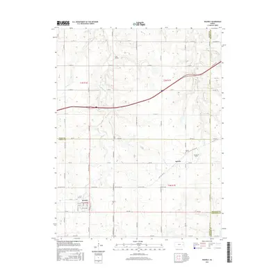
2015 Map of Waverly
USGS Topo · Published 2015About this map
Waverly anchors this landscape in eastern Kansas, situated near the meeting point of Coffey, Osage, Franklin, and Anderson counties. The town's grid is clearly defined south of Rock Creek, which winds through the western half of the map. To the northeast, the smaller settlement of Agricola sits along the Old State Hwy 50, illustrating the shift from early highway routes to the modern interstate corridor.
Find a feature on this map
67 named features on this map. Tap any name to fly to it.
Don’t see what you’re looking for? This feature index may not catch every label — zoom into the map to look around manually.
Map Details
Editions of this 2015 Waverly Map
This is the sole edition of this map. No revisions or reprints were ever made.
Other maps of this area

1885 · Burlington
USGS Topo · 1:125,000

1885 · Garnett
USGS Topo · 1:125,000

1885 · Lawrence
USGS Topo · 1:125,000

1889 · Burlingame
USGS Topo · 1:125,000

1889 · Lawrence
USGS Topo · 1:125,000

1894 · Garnett
USGS Topo · 1:125,000

1894 · Burlingame
USGS Topo · 1:125,000

1894 · Burlington
USGS Topo · 1:125,000

1947 · Lawrence
USGS Topo · 1:250,000

1950 · Lawrence
USGS Topo · 1:250,000