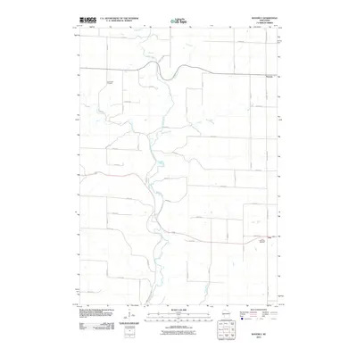
2010 Map of Waverly
USGS Topo · Published 2010About this map
The Rush River carves a winding path through this portion of western Wisconsin, serving as the central drainage for a landscape defined by its network of named tributaries and rural crossroads. Small settlements like Waverly and Ono mark the high ground between the river valleys, reflecting a long-standing agricultural pattern of development. The area is heavily dissected by several waterways, including Cave Creek and Brush Creek, which flow toward the primary river channel. Local history and genealogy are anchored by established landmarks such as the Ono Methodist Cemetery and the Lost Creek Cemetery, providing important reference points for researchers of the region's heritage. The road system, largely organized on a grid of numbered avenues and streets, is complemented by primary thoroughfares like County Hwy BB and County Hwy CC that connect these dispersed rural communities.
Find a feature on this map
29 named features on this map. Tap any name to fly to it.
Don’t see what you’re looking for? This feature index may not catch every label — zoom into the map to look around manually.
Map Details
Editions of this 2010 Waverly Map
This is the sole edition of this map. No revisions or reprints were ever made.
Other maps of this area

1935 · Arkansaw
USGS Topo · 1:48,000

1940 · Maiden Rock
USGS Topo · 1:62,500

1941 · Arkansaw
USGS Topo · 1:62,500

1942 · Arkansaw
USGS Topo · 1:62,500

1946 · Knapp
USGS Topo · 1:62,500

1949 · Knapp
USGS Topo · 1:62,500

1949 · Baldwin
USGS Topo · 1:62,500

1950 · Maiden Rock
USGS Topo · 1:62,500

1953 · Saint Paul
USGS Topo · 1:250,000

1959 · Saint Paul
USGS Topo · 1:250,000