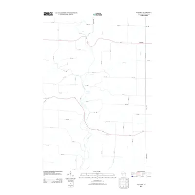
2013 Map of Waverly
USGS Topo · Published 2013About this map
Rush River defines the central topography of this Pierce County landscape, meandering through a network of rural roads and small crossroads settlements. This 2013 survey documents the enduring agricultural character of the region, where the unincorporated communities of Waverly and Ono serve as local anchors. The map illustrates a highly organized section-line road system, including 570th Ave and 350th Ave, which intersect with primary transit corridors like Us-10 and Wi-72. In addition to the main river, several tributaries like Brush Cr, Lost Cr, and Cave Cr carve through the terrain, highlighting the drainage patterns essential to the local valley farms. This modern topographical record captures the exact placement of homesteads and rural structures against the natural contours of the Driftless Area outskirts.
Find a feature on this map
36 named features on this map. Tap any name to fly to it.
Don’t see what you’re looking for? This feature index may not catch every label — zoom into the map to look around manually.
Map Details
Editions of this 2013 Waverly Map
This is the sole edition of this map. No revisions or reprints were ever made.
Other maps of this area

1935 · Arkansaw
USGS Topo · 1:48,000

1940 · Maiden Rock
USGS Topo · 1:62,500

1941 · Arkansaw
USGS Topo · 1:62,500

1942 · Arkansaw
USGS Topo · 1:62,500

1946 · Knapp
USGS Topo · 1:62,500

1949 · Knapp
USGS Topo · 1:62,500

1949 · Baldwin
USGS Topo · 1:62,500

1950 · Maiden Rock
USGS Topo · 1:62,500

1953 · Saint Paul
USGS Topo · 1:250,000

1959 · Saint Paul
USGS Topo · 1:250,000