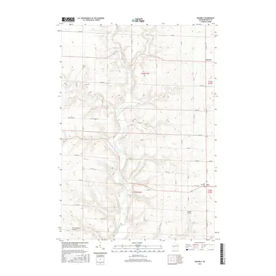
2015 Map of Waverly
USGS Topo · Published 2015About this map
The Rush River carves a deep north-south path through this portion of Pierce County, defining the agricultural landscape of Waverly and the surrounding coulees. In this mid-2010s survey, the winding waterway is joined by several tributaries including Brush Cr and Lost Cr, creating a highly dissected topography where farm roads often follow the ridge lines above the valleys. The rural character of the region is anchored by the small settlement of Ono in the southeast, situated near the intersection of Co RD CC and 330th Ave.
Find a feature on this map
38 named features on this map. Tap any name to fly to it.
Don’t see what you’re looking for? This feature index may not catch every label — zoom into the map to look around manually.
Map Details
Editions of this 2015 Waverly Map
This is the sole edition of this map. No revisions or reprints were ever made.
Other maps of this area

1935 · Arkansaw
USGS Topo · 1:48,000

1940 · Maiden Rock
USGS Topo · 1:62,500

1941 · Arkansaw
USGS Topo · 1:62,500

1942 · Arkansaw
USGS Topo · 1:62,500

1946 · Knapp
USGS Topo · 1:62,500

1949 · Knapp
USGS Topo · 1:62,500

1949 · Baldwin
USGS Topo · 1:62,500

1950 · Maiden Rock
USGS Topo · 1:62,500

1953 · Saint Paul
USGS Topo · 1:250,000

1959 · Saint Paul
USGS Topo · 1:250,000