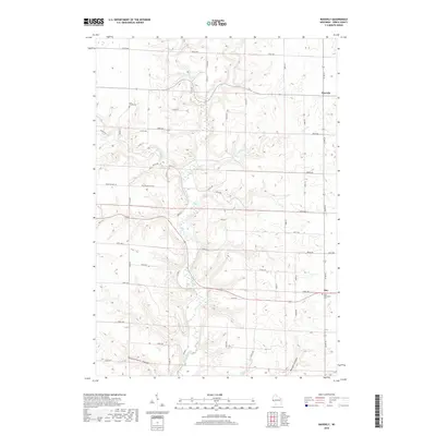
2018 Map of Waverly
USGS Topo · Published 2018About this map
Rush River carves a deep valley through this portion of Pierce County, defining the drainage patterns and transportation routes of the area. The landscape is characterized by the distinct coulee topography of western Wisconsin, with features like Bremenington Coulee and Morgan Coulee cutting into the uplands. Settlement is concentrated in small rural clusters such as Waverly in the northeast and Ono in the southeast, where the Ono Methodist Cemetery stands as a local landmark. A network of township roads, including County Road CC and County Road BB, follows the ridgelines and valley floors, connecting isolated farms and homesteads. The numerous tributaries, including Brush Creek, Lost Creek, and Cave Creek, indicate a well-watered agricultural district. Genealogists may find interest in the documented locations of burial grounds like the Lost Creek Cemetery, which remains a quiet presence in the rural landscape.
Find a feature on this map
47 named features on this map. Tap any name to fly to it.
Don’t see what you’re looking for? This feature index may not catch every label — zoom into the map to look around manually.
Map Details
Editions of this 2018 Waverly Map
This is the sole edition of this map. No revisions or reprints were ever made.
Other maps of this area

1935 · Arkansaw
USGS Topo · 1:48,000

1940 · Maiden Rock
USGS Topo · 1:62,500

1941 · Arkansaw
USGS Topo · 1:62,500

1942 · Arkansaw
USGS Topo · 1:62,500

1946 · Knapp
USGS Topo · 1:62,500

1949 · Knapp
USGS Topo · 1:62,500

1949 · Baldwin
USGS Topo · 1:62,500

1950 · Maiden Rock
USGS Topo · 1:62,500

1953 · Saint Paul
USGS Topo · 1:250,000

1959 · Saint Paul
USGS Topo · 1:250,000