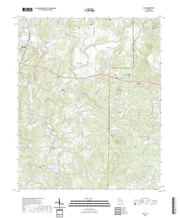
2024 Map of Wax
USGS Topo · Published 2024About this map
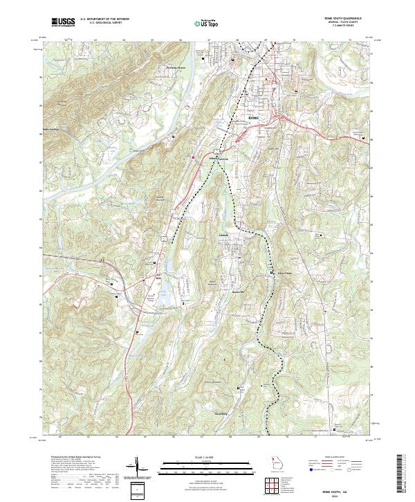
The Etowah River carves a winding path through this corner of Northwest Georgia, defining the landscape between the outskirts of Rome and the smaller settlement of Wax. This survey documents a rural environment where water and elevation dictate the layout of roads and homesteads. Named river crossings like Freeman Ferry, Bass Ferry, and Eves Ferry highlight the historical importance of the river for transport and local connectivity, even as modern roads like Chulio Rd SE have replaced them.
Find a feature on this map
122 named features on this map. Tap any name to fly to it.
Don’t see what you’re looking for? This feature index may not catch every label — zoom into the map to look around manually.
Map Details
Editions of this 2024 Wax Map
This is the sole edition of this map. No revisions or reprints were ever made.
Historical Maps of Rome Through Time
14 maps found
1967 Livingston
Floyd County, GA
1967 Melson
Floyd County, GA
1967 Rock Mountain
Floyd County, GA
1967 Rome North
Floyd County, GA

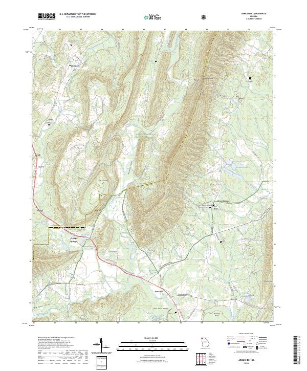
1968 Armuchee
Floyd County, GA
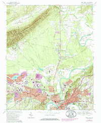
1968 Rome South
Floyd County, GA
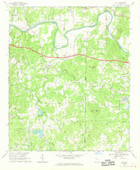
1968 Wax
Floyd County, GA
2024 Armuchee
Floyd County, GA
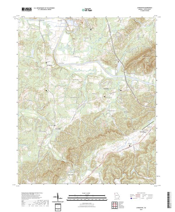
2024 Livingston
Floyd County, GA
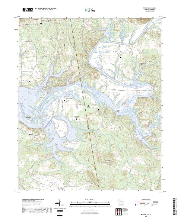
2024 Melson
Floyd County, GA
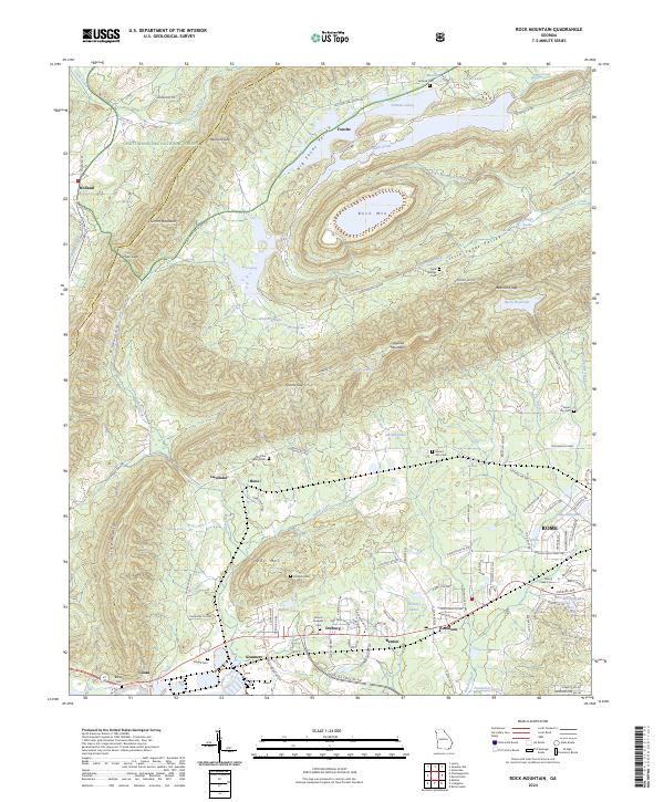
2024 Rock Mountain
Floyd County, GA
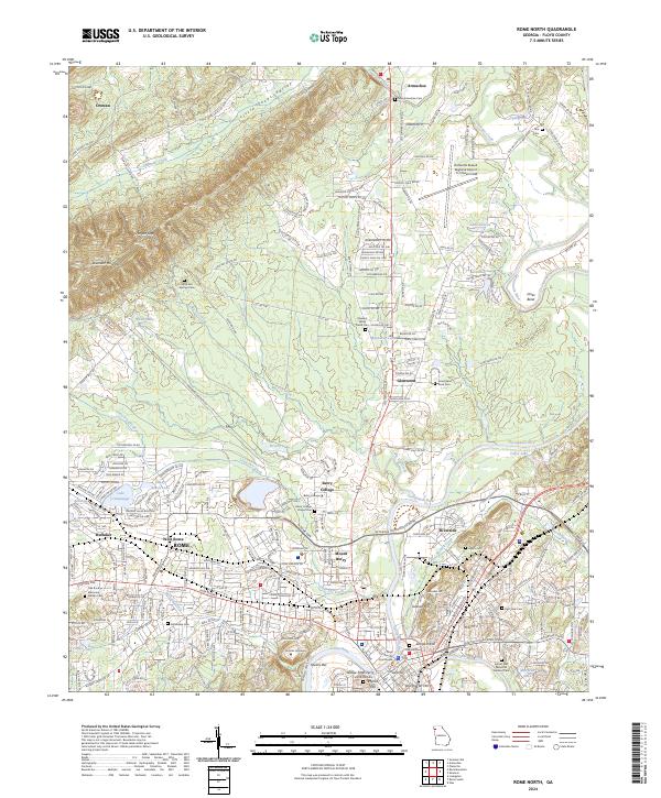
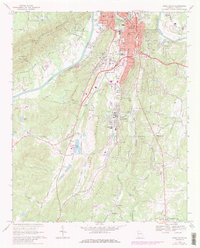
2024 Rome North
Floyd County, GA
2024 Rome South
Floyd County, GA
2024 Wax
Floyd County, GA