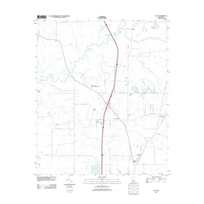
2012 Map of Way
USGS Topo · Published 2012About this map
The Big Black River meanders through the northwest corner of this Madison County landscape, defining a network of oxbows and wetlands including Horseshoe Lake, Dixon Lake, and Watts Lake. This riverine environment contrasts with the settled areas to the south and east, where a series of small communities and family landmarks are connected by a grid of rural roads. Genealogists will find a high density of burial sites across the territory, ranging from the Leggitt Family Cem to the Humble Jerusalem Missionary Baptist Church Cem, reflecting deep-rooted rural congregations. In the southeast, the settlements of Milltown, Mill Town, and Cobbville anchor the local geography near the winding course of Tilda Bogue. The presence of the Cochran Airport and residential developments around Lake Stephens and Lake Neoma illustrate the modern intersection of traditional Mississippi farm country with twentieth-century transportation and leisure infrastructure.
Find a feature on this map
73 named features on this map. Tap any name to fly to it.
Don’t see what you’re looking for? This feature index may not catch every label — zoom into the map to look around manually.
Map Details
Editions of this 2012 Way Map
This is the sole edition of this map. No revisions or reprints were ever made.
Other maps of this area

1953 · Meridian
USGS Topo · 1:250,000

1955 · Jackson
USGS Topo · 1:250,000

1957 · Meridian
USGS Topo · 1:250,000

1960 · Sharon
USGS Topo · 1:62,500

1961 · Jackson
USGS Topo · 1:250,000

1961 · Canton
USGS Topo · 1:62,500

1962 · Jackson
USGS Topo · 1:250,000

1964 · Linwood
USGS Topo · 1:24,000

1964 · Vaughan
USGS Topo · 1:24,000

1965 · Meridian
USGS Topo · 1:250,000