
1964 Map of Vaughan
USGS Topo · Published 1965About this map
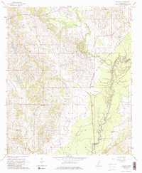
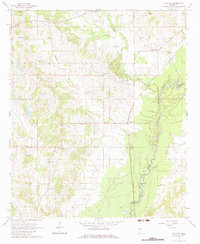
Big Black River meanders along the eastern boundary of this mid-1960s landscape, defining the border between Yazoo and Madison Counties. The settlement pattern is characterized by small rural nodes and crossroads anchored by community institutions like Deasonville and Vaughan. The network of country roads connects a dense distribution of local churches and family burial grounds, such as Cypress Grove Ch, Bethel Ch, and the Peaster Cem.
Find a feature on this map
34 named features on this map. Tap any name to fly to it.
Don’t see what you’re looking for? This feature index may not catch every label — zoom into the map to look around manually.
Map Details
Editions of this 1964 Vaughan Map
3 editions found
Other maps of this area

1953 · Meridian
USGS Topo · 1:250,000

1955 · Jackson
USGS Topo · 1:250,000

1957 · Meridian
USGS Topo · 1:250,000

1960 · Sharon
USGS Topo · 1:62,500

1961 · Jackson
USGS Topo · 1:250,000

1961 · Canton
USGS Topo · 1:62,500

1962 · Jackson
USGS Topo · 1:250,000
1964 · Zeiglerville
USGS Topo · 1:24,000
1964 · Ebenezer
USGS Topo · 1:24,000

1964 · Linwood
USGS Topo · 1:24,000