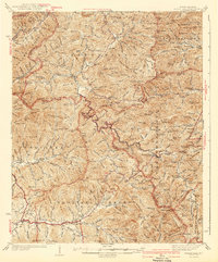
1942 Map of Wayah Bald
USGS Topo · Published 1942About this map
Wayah Bald and the surrounding high ridges of the Nantahala Mountains dominate this western North Carolina landscape, surveyed in the mid-1930s. The map captures a high-elevation backcountry where the Appalachian Trail winds past peaks like Standing Indian and through various gaps such as Tellico Gap. Along the deep valleys, rural life centers on isolated settlements like Aquone, Burningtown, and Shooting Creek. Numerous small churches and schools, including Kyle Sch, Tidwell Sch, and Marshall Chapel, are scattered near the headwaters of the Nantahala River and White Oak Creek. This era reveals the region just before significant post-war modernization, shown here as a network of creeks and ridges within the Nantahala National Forest, where fire towers stand watch over the forested terrain.
Find a feature on this map
153 named features on this map. Tap any name to fly to it.
Don’t see what you’re looking for? This feature index may not catch every label — zoom into the map to look around manually.
Map Details
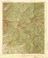
Editions of this 1942 Wayah Bald Map
2 editions found
Other maps of this area

1886 · Dahlonega
USGS Topo · 1:125,000

1886 · Walhalla
USGS Topo · 1:125,000

1891 · Cowee
USGS Topo · 1:125,000

1892 · Dahlonega
USGS Topo · 1:125,000

1892 · Walhalla
USGS Topo · 1:125,000

1896 · Walhalla
USGS Topo · 1:125,000

1896 · Dahlonega
USGS Topo · 1:125,000

1897 · Cowee
USGS Topo · 1:125,000

1903 · Dahlonega
USGS Topo · 1:125,000

1907 · Cowee
USGS Topo · 1:125,000