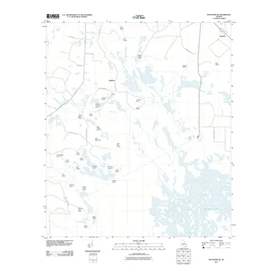
2011 Map of Waycross SE
USGS Topo · Published 2011About this map
Skullhead and Braganza anchor this 2011 survey of the Okefenokee landscape, where a complex network of named islands and landings defines the interior. The terrain is characterized by a dense mosaic of wetland features, including the sprawling Gum Swamp, Bear Belly Strand, and Barbers Run. Local nomenclature reveals a history of specific land use and family-named geography, seen in points such as Mary Howell Point and Seldom Seen Point, alongside interior islands like Negro Camp Island and the curiously named Wheel of Fortune Island.
Find a feature on this map
44 named features on this map. Tap any name to fly to it.
Don’t see what you’re looking for? This feature index may not catch every label — zoom into the map to look around manually.
Map Details
Editions of this 2011 Waycross SE Map
This is the sole edition of this map. No revisions or reprints were ever made.
Other maps of this area

1918 · Folkston
USGS Topo · 1:62,500

1953 · Waycross
USGS Topo · 1:250,000

1954 · Valdosta
USGS Topo · 1:250,000

1958 · Valdosta
USGS Topo · 1:250,000

1958 · Waycross
USGS Topo · 1:250,000

1959 · Valdosta
USGS Topo · 1:250,000

1965 · Double Lakes
USGS Topo · 1:24,000

1965 · Dinner Pond
USGS Topo · 1:24,000

1966 · Cravens Island
USGS Topo · 1:24,000

1967 · Waycross SE
USGS Topo · 1:24,000