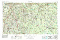
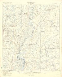
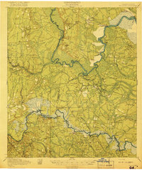
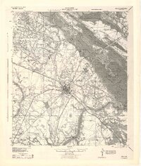
1953 Map of Waycross
USGS Topo · Published 1984About this map
The Satilla River and Ocmulgee River systems define this mid-century portrait of South Georgia, a region characterized by its expansive wetlands and emerging highway network. At the southeastern corner, the Okefenokee National Wildlife Refuge marks a massive wilderness transition, with Cow House Island rising above the swampy terrain. The era's transportation landscape is dominated by a dense web of steel and asphalt, where the Atlantic Coast Line RR and Seaboard Air Line RR intersect at the regional hub of Waycross.
Find a feature on this map
203 named features on this map. Tap any name to fly to it.
Don’t see what you’re looking for? This feature index may not catch every label — zoom into the map to look around manually.
Map Details
Editions of this 1953 Waycross Map
2 editions found

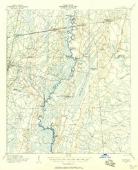
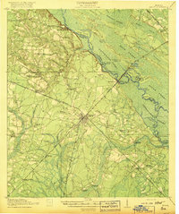
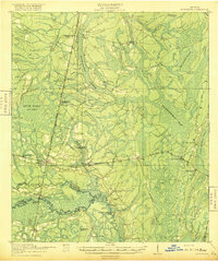
Other maps of this area
1917 · Nahunta
USGS Topo · 1:62,500

1917 · Boulogne
USGS Topo · 1:62,500
1918 · Jesup
USGS Topo · 1:62,500

1918 · Folkston
USGS Topo · 1:62,500
1918 · Hortense
USGS Topo · 1:62,500
1918 · Nahunta
USGS Topo · 1:62,500

1919 · Claxton
USGS Topo · 1:62,500
1919 · Boulogne
USGS Topo · 1:62,500

1920 · Glennville
USGS Topo · 1:62,500
1943 · Jesup
USGS Topo · 1:62,500