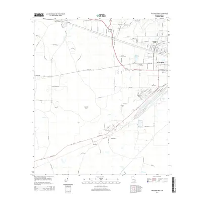
2014 Map of Waycross West
USGS Topo · Published 2014About this map
Waycross serves as the focal point of this 2014 geographic study, showing the city's western expansion and its connection to outlying Ware County communities. The landscape is a network of water and wood, defined by the winding course of Kettle Creek and the low-lying reaches of Gum Swamp. Smaller residential clusters like Emerson Park and Winona Park demonstrate the area's suburban growth, while more rural nodes such as Waresboro to the northwest and Ruskin to the south preserve the footprint of older settlements.
Find a feature on this map
122 named features on this map. Tap any name to fly to it.
Don’t see what you’re looking for? This feature index may not catch every label — zoom into the map to look around manually.
Map Details
Editions of this 2014 Waycross West Map
This is the sole edition of this map. No revisions or reprints were ever made.
Other maps of this area

1953 · Waycross
USGS Topo · 1:250,000

1958 · Waycross
USGS Topo · 1:250,000

1967 · Waycross SE
USGS Topo · 1:24,000

1967 · Waycross West
USGS Topo · 1:24,000

1967 · Pine Valley
USGS Topo · 1:24,000

1967 · Waycross East
USGS Topo · 1:24,000

1967 · Waycross SW
USGS Topo · 1:24,000

1968 · Manor
USGS Topo · 1:24,000

1971 · Dixie Union
USGS Topo · 1:24,000

1971 · Talmo
USGS Topo · 1:24,000