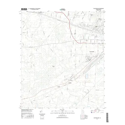
2017 Map of Waycross West
USGS Topo · Published 2017About this map
Waresboro and the western reaches of Waycross define this landscape, where the urban grid gives way to a complex network of wetlands and drainage basins. The area is characterized by a high concentration of named bays and swamps, such as Musket Bay, Gloughs Bay, and Gum Swamp, which are interwoven with the meandering course of Kettle Creek. This hydrological pattern dictates the positioning of settlements and transport corridors, with the CSX railroad and major highways like US-82 skirting the edges of these low-lying areas.
Find a feature on this map
134 named features on this map. Tap any name to fly to it.
Don’t see what you’re looking for? This feature index may not catch every label — zoom into the map to look around manually.
Map Details
Editions of this 2017 Waycross West Map
This is the sole edition of this map. No revisions or reprints were ever made.
Other maps of this area

1953 · Waycross
USGS Topo · 1:250,000

1958 · Waycross
USGS Topo · 1:250,000

1967 · Waycross SE
USGS Topo · 1:24,000

1967 · Waycross West
USGS Topo · 1:24,000

1967 · Pine Valley
USGS Topo · 1:24,000

1967 · Waycross East
USGS Topo · 1:24,000

1967 · Waycross SW
USGS Topo · 1:24,000

1968 · Manor
USGS Topo · 1:24,000

1971 · Dixie Union
USGS Topo · 1:24,000

1971 · Talmo
USGS Topo · 1:24,000