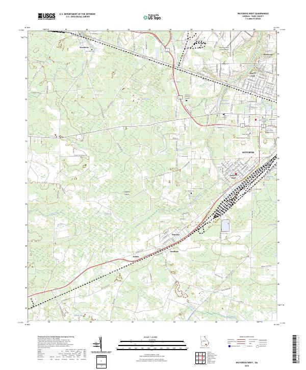
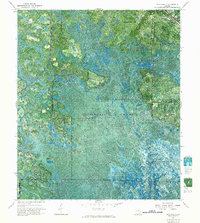
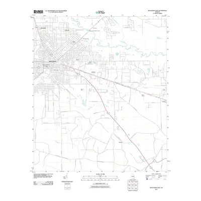
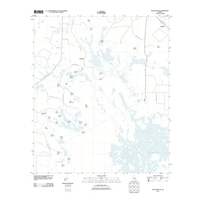
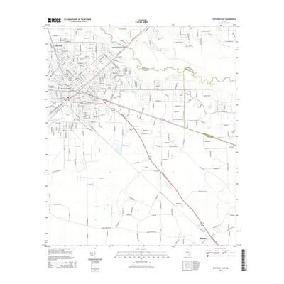
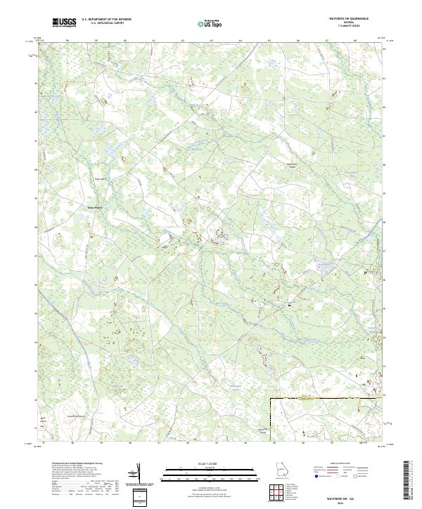
2024 Map of Waycross West
USGS Topo · Published 2024About this map
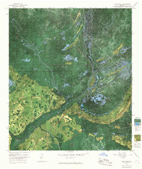
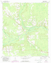
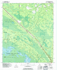
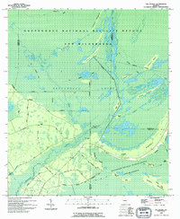
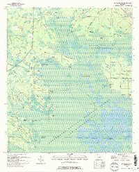
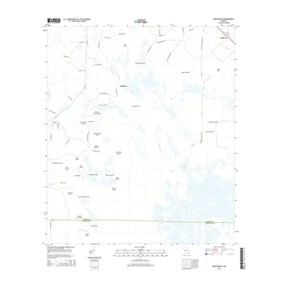
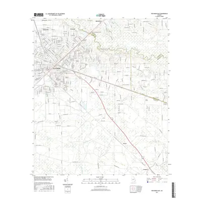
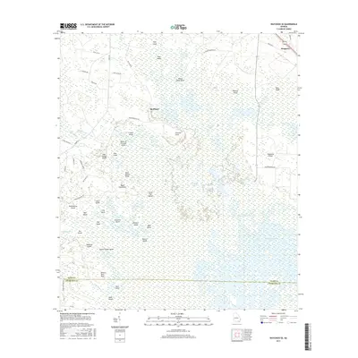
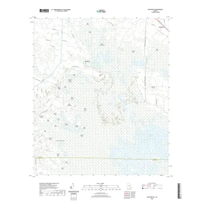
Waresboro and the western reaches of Waycross define this portion of Ware County, where the landscape transitions from urban centers to the low-lying wetlands of the Satilla River basin. The area is marked by a complex of water features and named bays, including Musket Bay and Cloughs Bay, which suggest the traditional agricultural and timber patterns of southern Georgia. Key institutions such as the South Georgia State College Waycross Campus and the Waycross-Ware County Airport indicate the modern development of this regional hub.
Find a feature on this map
147 named features on this map. Tap any name to fly to it.
Don’t see what you’re looking for? This feature index may not catch every label — zoom into the map to look around manually.
Map Details
Editions of this 2024 Waycross West Map
This is the sole edition of this map. No revisions or reprints were ever made.
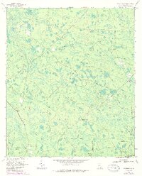
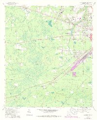
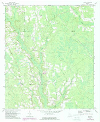
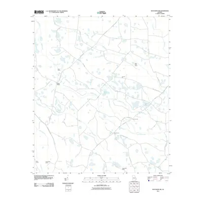
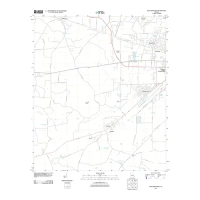
Historical Maps of Waycross Through Time
78 maps found
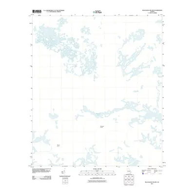
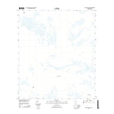
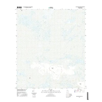
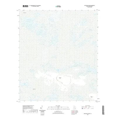
1965 Blackjack Island
Ware County, GA
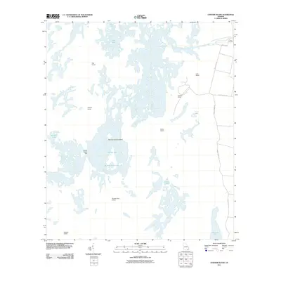
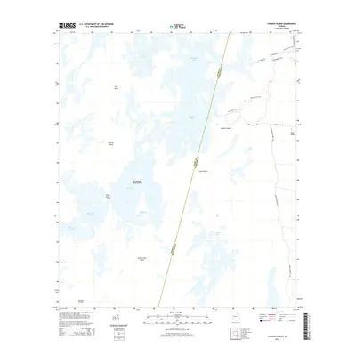
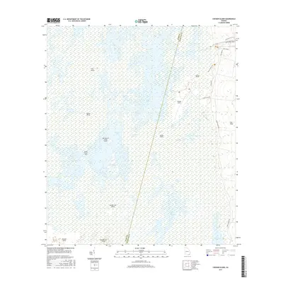
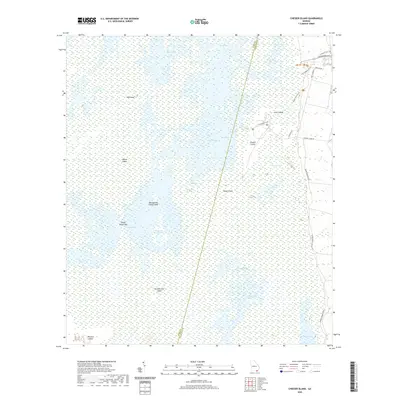
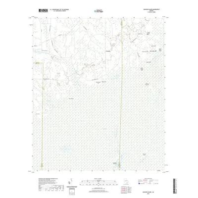
1965 Chesser Island
Ware County, GA
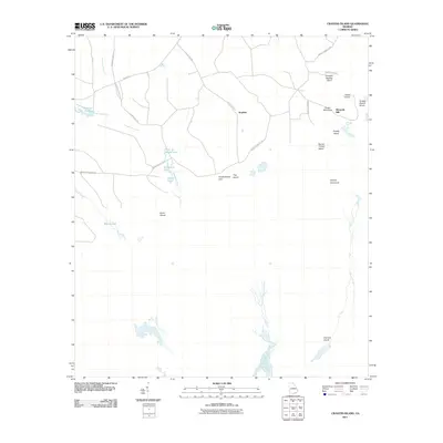
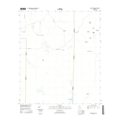
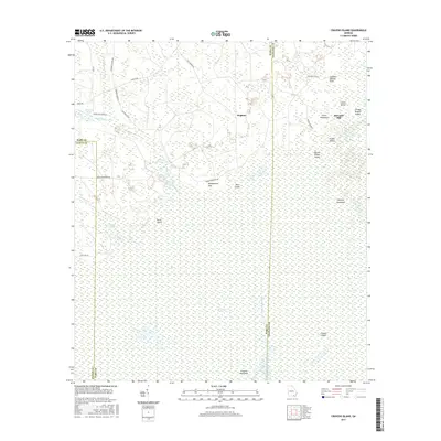
1966 Cravens Island
Ware County, GA
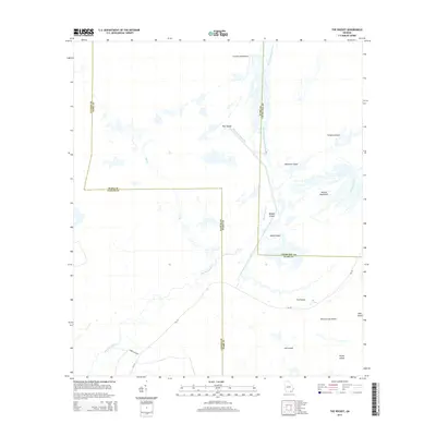
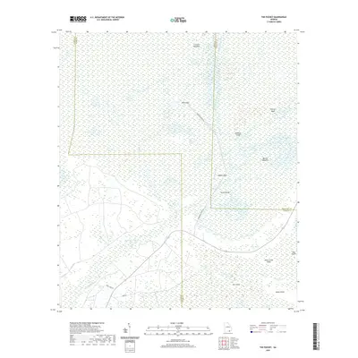
1966 The Pocket
Ware County, GA
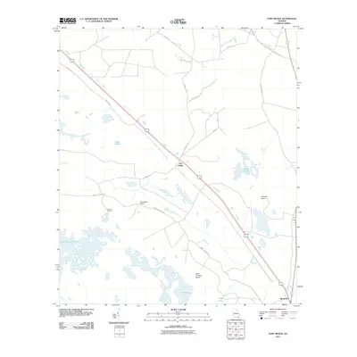
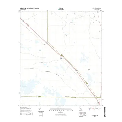
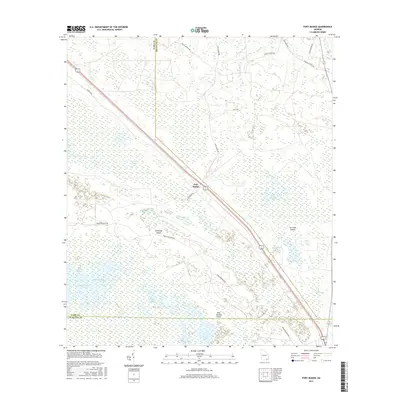
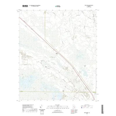
1967 Fort Mudge
Ware County, GA
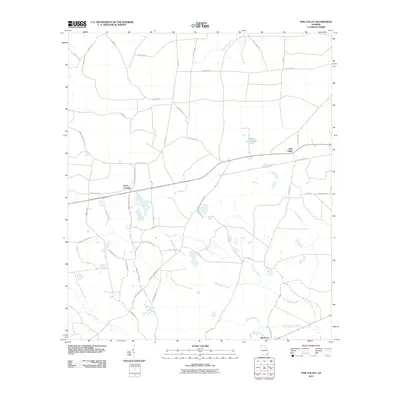
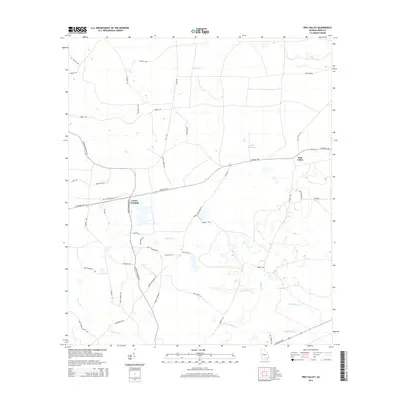
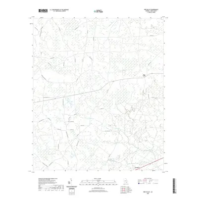
1967 Pine Valley
Ware County, GA
1967 Waycross East
Ware County, GA
1967 Waycross SE
Ware County, GA
1967 Waycross SW
Ware County, GA
1967 Waycross West
Ware County, GA
1971 Beach
Ware County, GA
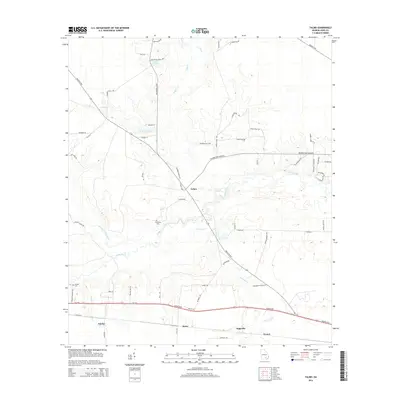
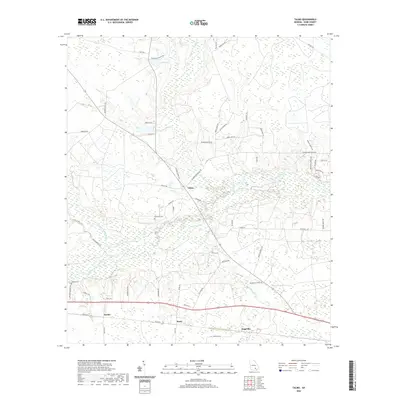
1971 Talmo
Ware County, GA
1994 Blackjack Island
Ware County, GA
1994 Chesser Island
Ware County, GA
1994 Cravens Island
Ware County, GA
1994 Fort Mudge
Ware County, GA
1994 The Pocket
Ware County, GA
1994 Waycross SE
Ware County, GA
2011 Beach
Ware County, GA
2011 Blackjack Island
Ware County, GA
2011 Chesser Island
Ware County, GA
2011 Cravens Island
Ware County, GA
2011 Fort Mudge
Ware County, GA
2011 Pine Valley
Ware County, GA
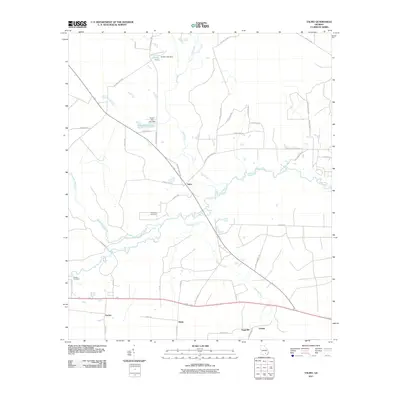
2011 Talmo
Ware County, GA
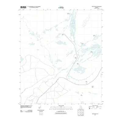
2011 The Pocket
Ware County, GA
2011 Waycross East
Ware County, GA
2011 Waycross SE
Ware County, GA
2011 Waycross SW
Ware County, GA
2011 Waycross West
Ware County, GA
2014 Beach
Ware County, GA
2014 Blackjack Island
Ware County, GA
2014 Chesser Island
Ware County, GA
2014 Cravens Island
Ware County, GA
2014 Fort Mudge
Ware County, GA
2014 Pine Valley
Ware County, GA
2014 Talmo
Ware County, GA
2014 The Pocket
Ware County, GA
2014 Waycross East
Ware County, GA
2014 Waycross SE
Ware County, GA
2014 Waycross SW
Ware County, GA
2014 Waycross West
Ware County, GA
2017 Beach
Ware County, GA
2017 Blackjack Island
Ware County, GA
2017 Chesser Island
Ware County, GA
2017 Cravens Island
Ware County, GA
2017 Fort Mudge
Ware County, GA
2017 Pine Valley
Ware County, GA
2017 Talmo
Ware County, GA
2017 The Pocket
Ware County, GA
2017 Waycross East
Ware County, GA
2017 Waycross SE
Ware County, GA
2017 Waycross SW
Ware County, GA
2017 Waycross West
Ware County, GA
2020 Beach
Ware County, GA
2020 Blackjack Island
Ware County, GA
2020 Chesser Island
Ware County, GA
2020 Cravens Island
Ware County, GA
2020 Fort Mudge
Ware County, GA
2020 Pine Valley
Ware County, GA
2020 Talmo
Ware County, GA
2020 The Pocket
Ware County, GA
2020 Waycross East
Ware County, GA
2020 Waycross SE
Ware County, GA
2020 Waycross SW
Ware County, GA
2020 Waycross West
Ware County, GA
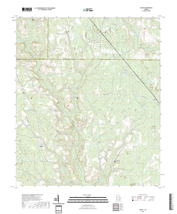
2024 Beach
Ware County, GA
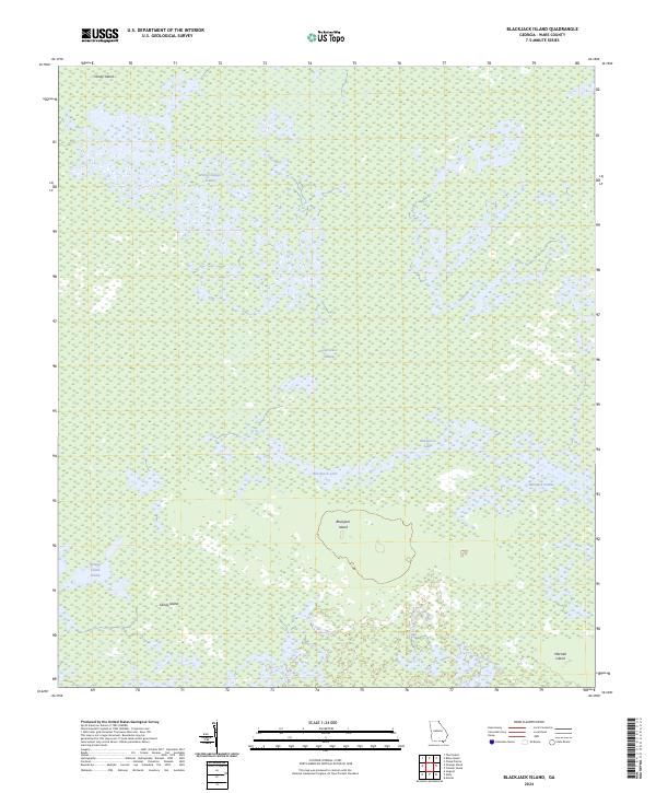
2024 Blackjack Island
Ware County, GA
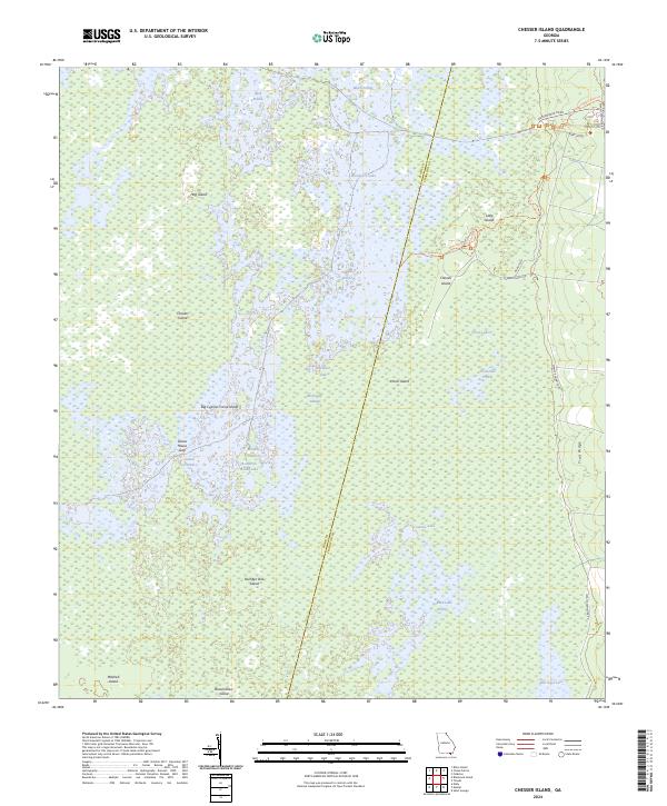
2024 Chesser Island
Ware County, GA
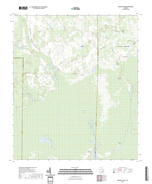
2024 Cravens Island
Ware County, GA
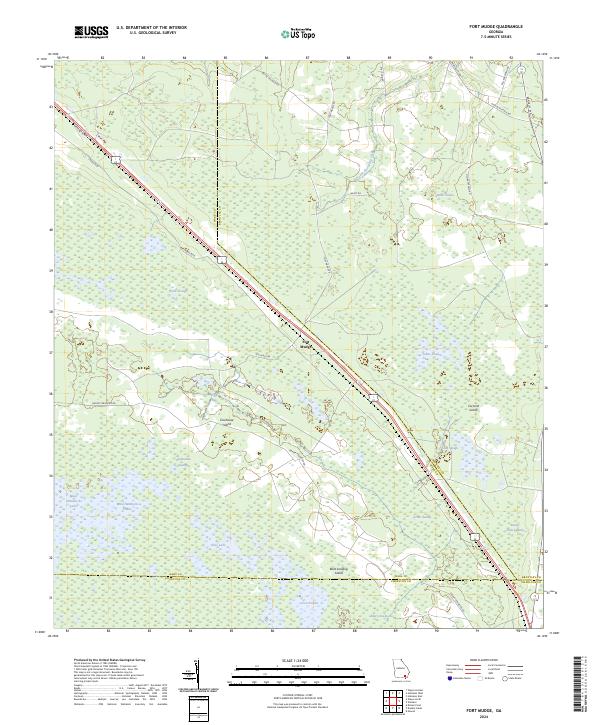
2024 Fort Mudge
Ware County, GA
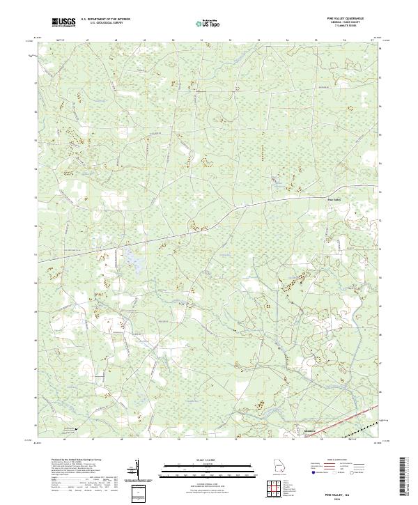
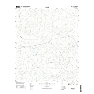
2024 Pine Valley
Ware County, GA
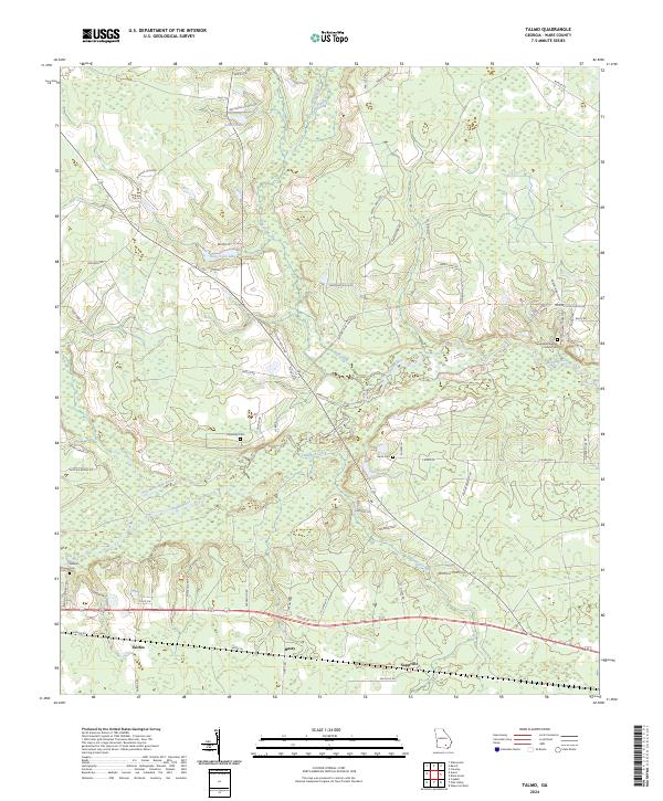
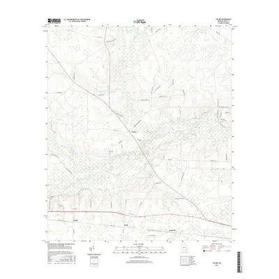
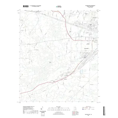
2024 Talmo
Ware County, GA
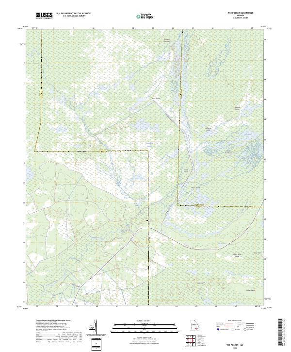
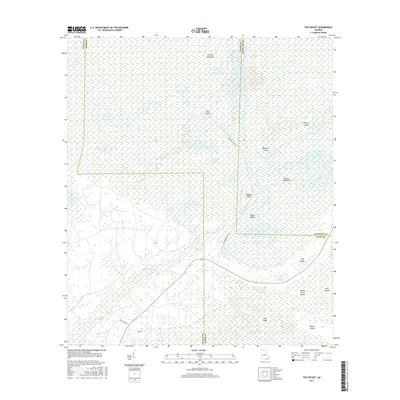
2024 The Pocket
Ware County, GA
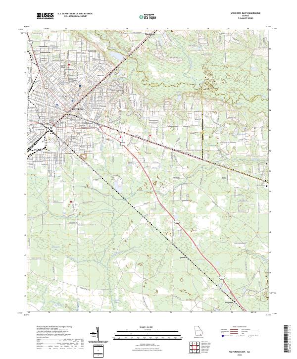
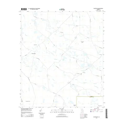
2024 Waycross East
Ware County, GA
2024 Waycross SE
Ware County, GA
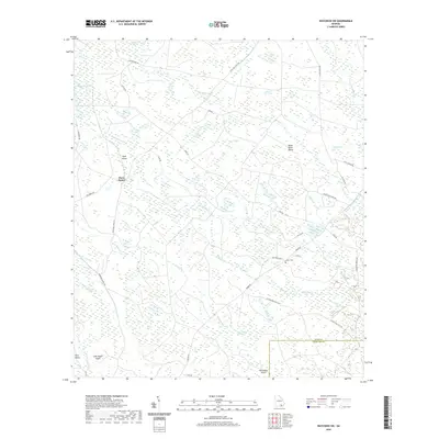
2024 Waycross SW
Ware County, GA
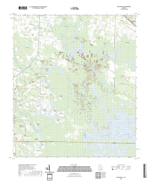
2024 Waycross West
Ware County, GA