
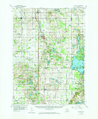
1959 Map of Wayland
USGS Topo · Published 1959About this map
The Pennsylvania and New York Central rail lines anchor this mid-century survey of the West Michigan landscape, illustrating the transportation corridors that defined Wayland, Moline, and Bradley. The terrain is punctuated by significant water bodies, most notably the sprawling Gun Lake, which is surrounded by family-named landmarks and recreation sites like the Yankee Springs Recreation Area. This sheet reveals the rural social fabric of Allegan County through its numerous country schools, including St Stanislaus Sch and the Sproat Sch, along with community cemeteries like Maplewood Cem.
Find a feature on this map
149 named features on this map. Tap any name to fly to it.
Don’t see what you’re looking for? This feature index may not catch every label — zoom into the map to look around manually.
Map Details
Editions of this 1959 Wayland Map
2 editions found
Other maps of this area

1914 · Grand Rapids
USGS Topo · 1:62,500

1916 · Kalamazoo
USGS Topo · 1:62,500

1918 · Kalamazoo
USGS Topo · 1:62,500

1918 · Galesburg
USGS Topo · 1:62,500

1918 · Lowell
USGS Topo · 1:62,500

1943 · Kalamazoo
USGS Topo · 1:62,500

1943 · Grand Rapids
USGS Topo · 1:62,500

1943 · Lowell
USGS Topo · 1:62,500

1944 · Galesburg
USGS Topo · 1:62,500

1946 · Gobles
USGS Topo · 1:62,500