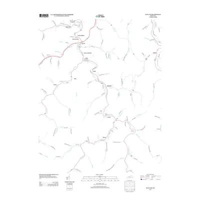
2013 Map of Wayland
USGS Topo · Published 2013About this map
Right Fork Beaver Creek winds through this central Kentucky valley, connecting a series of closely set communities including Wayland, Garrett, and Lackey. The landscape is defined by its winding hollows and narrow creek beds, where residential and industrial development follows the drainage patterns of Jones Fork and Caney Fork. This 2013 survey documents the local transportation and settlement network, showing the transition from regional roads like Old Bosco Rd to more intimate neighborhood lanes such as Lick Skillet Br and Glo Hollow Rd.
Find a feature on this map
138 named features on this map. Tap any name to fly to it.
Don’t see what you’re looking for? This feature index may not catch every label — zoom into the map to look around manually.
Map Details
Editions of this 2013 Wayland Map
This is the sole edition of this map. No revisions or reprints were ever made.
Other maps of this area

1886 · Prestonsburg
USGS Topo · 1:125,000

1890 · Whitesburg
USGS Topo · 1:125,000

1892 · Whitesburg
USGS Topo · 1:125,000

1892 · Prestonsburg
USGS Topo · 1:125,000

1912 · Hindman
USGS Topo · 1:48,000

1914 · Laynesville
USGS Topo · 1:48,000

1914 · Vergie
USGS Topo · 1:48,000

1915 · Prestonsburg
USGS Topo · 1:62,500

1915 · Hindman
USGS Topo · 1:62,500

1916 · Harold
USGS Topo · 1:62,500