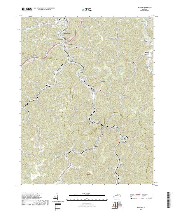
2022 Map of Wayland
USGS Topo · Published 2022About this map
Right Fork Beaver Creek winds through the heart of this Floyd and Knott County landscape, serving as the primary corridor for a series of mountain settlements including Garrett, Wayland, and Dema. The terrain is characterized by narrow hollows and numerous family-named branches, such as Hunter Branch and Sugar Camp Br, which drain the steep ridges into the central valley. This 2022 survey captures the modern road network, including State Hwy 777 and State Hwy 122, which connect the small communities and junctions like Porter Junction and Welco Station.
Find a feature on this map
98 named features on this map. Tap any name to fly to it.
Don’t see what you’re looking for? This feature index may not catch every label — zoom into the map to look around manually.
Map Details
Editions of this 2022 Wayland Map
This is the sole edition of this map. No revisions or reprints were ever made.
Other maps of this area

1886 · Prestonsburg
USGS Topo · 1:125,000

1890 · Whitesburg
USGS Topo · 1:125,000

1892 · Whitesburg
USGS Topo · 1:125,000

1892 · Prestonsburg
USGS Topo · 1:125,000

1912 · Hindman
USGS Topo · 1:48,000

1914 · Laynesville
USGS Topo · 1:48,000

1914 · Vergie
USGS Topo · 1:48,000

1915 · Prestonsburg
USGS Topo · 1:62,500

1915 · Hindman
USGS Topo · 1:62,500

1916 · Harold
USGS Topo · 1:62,500