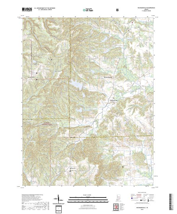
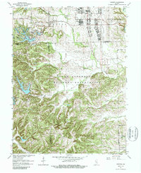
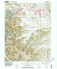
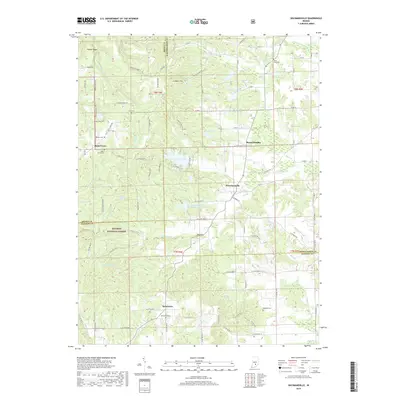
2022 Map of Waymansville
USGS Topo · Published 2022About this map
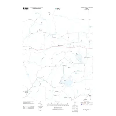
The borderlands of Bartholomew, Jackson, and Brown Counties come together in this detailed study of south-central Indiana’s ridge and valley terrain. Much of the western landscape is dominated by the Hoosier National Forest, where topography like Poplar Ridge and Dug Hill dictates the winding path of rural routes. Small, historic settlements like Waymansville and Spraytown serve as focal points for local history, surrounded by numerous family and community burial grounds including Spraytown Cem and the Weddell Cem near the eastern edge.
Find a feature on this map
69 named features on this map. Tap any name to fly to it.
Don’t see what you’re looking for? This feature index may not catch every label — zoom into the map to look around manually.
Map Details
Editions of this 2022 Waymansville Map
This is the sole edition of this map. No revisions or reprints were ever made.
Historical Maps of Waymansville Through Time
23 maps found
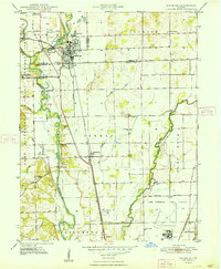
1948 Edinburg
Bartholomew County, IN
1948 New Bellsville
Bartholomew County, IN
1948 Nineveh
Bartholomew County, IN
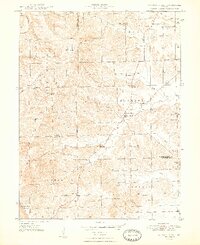
1948 Waymansville
Bartholomew County, IN
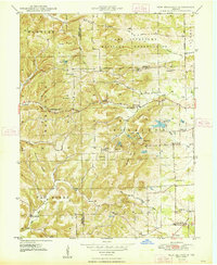
1962 New Bellsville
Bartholomew County, IN
1962 Nineveh
Bartholomew County, IN
1962 Waymansville
Bartholomew County, IN
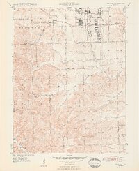
1998 Nineveh
Bartholomew County, IN
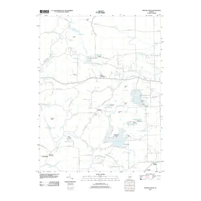
2010 New Bellsville
Bartholomew County, IN
2010 Nineveh
Bartholomew County, IN
2011 Waymansville
Bartholomew County, IN
2013 New Bellsville
Bartholomew County, IN
2013 Nineveh
Bartholomew County, IN
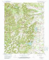
2013 Waymansville
Bartholomew County, IN
2016 New Bellsville
Bartholomew County, IN
2016 Nineveh
Bartholomew County, IN
2016 Waymansville
Bartholomew County, IN
2019 New Bellsville
Bartholomew County, IN
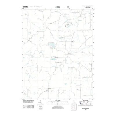
2019 Nineveh
Bartholomew County, IN
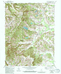
2019 Waymansville
Bartholomew County, IN
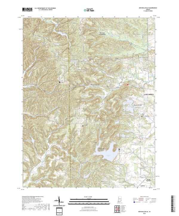
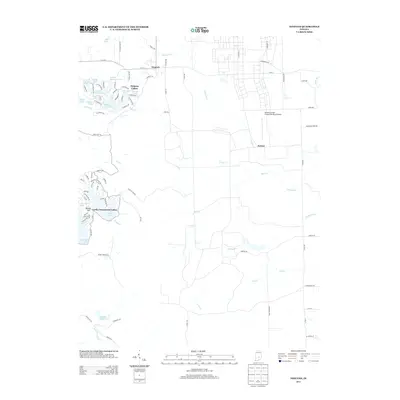
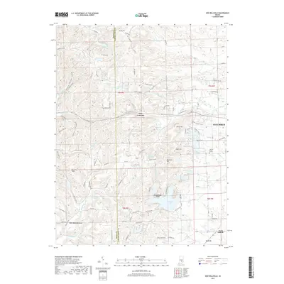
2022 New Bellsville
Bartholomew County, IN
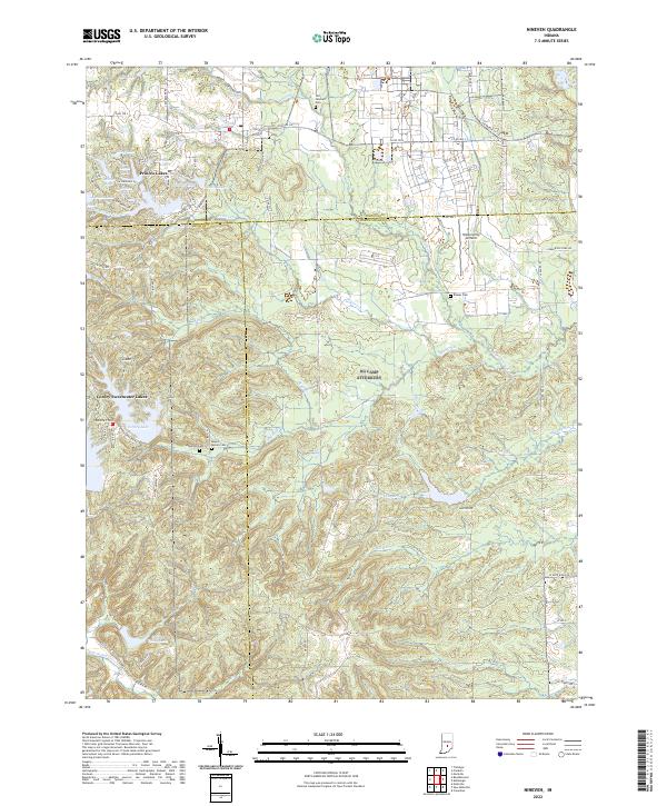
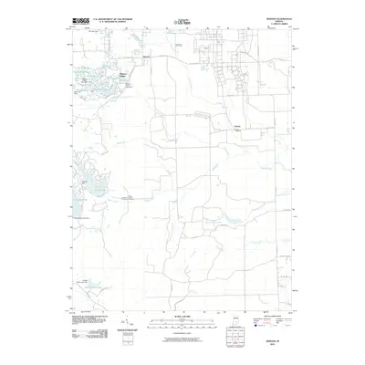
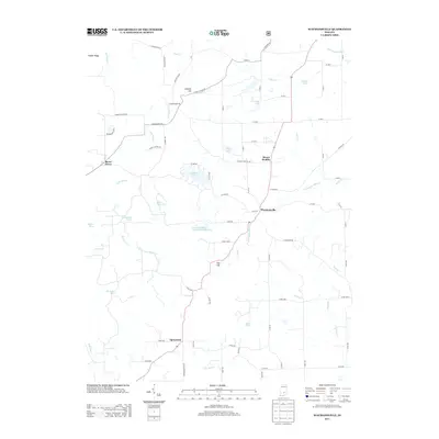
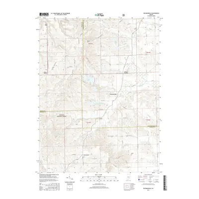
2022 Nineveh
Bartholomew County, IN
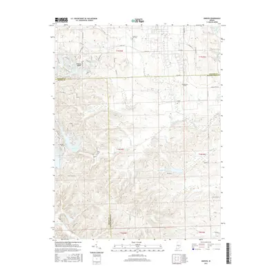
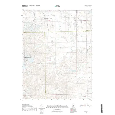
2022 Waymansville
Bartholomew County, IN