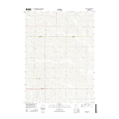
2014 Map of Wayne SW
USGS Topo · Published 2014About this map
Spurville and the surrounding agricultural landscapes of the Nebraska prairie are documented in this topographic record, which straddles the boundary between Wayne Co and Stanton Co. The terrain is defined by the drainage networks of Humbug Creek and its various tributaries, including the South Branch Humbug Creek. These waterways, along with Payne Creek and Indian Creek, influence the grid-based road system that services the local farming community.
Find a feature on this map
34 named features on this map. Tap any name to fly to it.
Don’t see what you’re looking for? This feature index may not catch every label — zoom into the map to look around manually.
Map Details
Editions of this 2014 Wayne SW Map
This is the sole edition of this map. No revisions or reprints were ever made.
Other maps of this area

1955 · Sioux City
USGS Topo · 1:250,000

1955 · Fremont
USGS Topo · 1:250,000

1957 · Fremont
USGS Topo · 1:250,000

1958 · Sioux City
USGS Topo · 1:250,000

1958 · Fremont
USGS Topo · 1:250,000

1959 · Sioux City
USGS Topo · 1:250,000

1963 · Hoskins
USGS Topo · 1:24,000

1963 · Pilger
USGS Topo · 1:24,000

1963 · Wayne SW
USGS Topo · 1:24,000

1963 · Winside
USGS Topo · 1:24,000