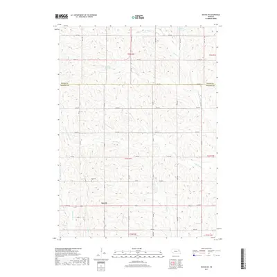
2017 Map of Wayne SW
USGS Topo · Published 2017About this map
The community of Spurville occupies a central position on this 2017 landscape, which straddles the boundary between Wayne and Stanton Counties. This region is defined by a complex network of drainage systems, including the headwaters of Humbug Creek and its southern branch, alongside Payne Creek and Maskenthine Creek. Small-scale water management is evident through several impoundments such as Brogren Reservoir and Dangberg Reservoir, which support the agricultural life of the plains. For genealogists and local historians, the map preserves the exact locations of rural landmarks like Bega Cemetery and Bethlehem Cemetery, the latter associated with a local church site. The township and range divisions, including t24n r2e, provide the essential framework for tracing 21st-century property records and historic land use patterns in this part of northeastern Nebraska.
Find a feature on this map
29 named features on this map. Tap any name to fly to it.
Don’t see what you’re looking for? This feature index may not catch every label — zoom into the map to look around manually.
Map Details
Editions of this 2017 Wayne SW Map
This is the sole edition of this map. No revisions or reprints were ever made.
Other maps of this area

1955 · Sioux City
USGS Topo · 1:250,000

1955 · Fremont
USGS Topo · 1:250,000

1957 · Fremont
USGS Topo · 1:250,000

1958 · Sioux City
USGS Topo · 1:250,000

1958 · Fremont
USGS Topo · 1:250,000

1959 · Sioux City
USGS Topo · 1:250,000

1963 · Hoskins
USGS Topo · 1:24,000

1963 · Pilger
USGS Topo · 1:24,000

1963 · Wayne SW
USGS Topo · 1:24,000

1963 · Winside
USGS Topo · 1:24,000