
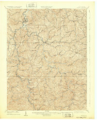
1909 Map of Wayne
USGS Topo · Published 1909About this map
Twelvepole Creek and its many winding tributaries dictate the settlement patterns of Wayne County in the early twentieth century. The Norfolk and Western RR tracks this waterway through the heart of the region, connecting towns like Wayne, Radnor, and Wilsondale. The landscape is dominated by high ridges and distinct peaks such as Wheeler Knob and Porter Knob, which hem in the small communities and post offices that line the valley floors.
Find a feature on this map
86 named features on this map. Tap any name to fly to it.
Don’t see what you’re looking for? This feature index may not catch every label — zoom into the map to look around manually.
Map Details
Editions of this 1909 Wayne Map
2 editions found
Other maps of this area

1886 · Prestonsburg
USGS Topo · 1:125,000

1887 · Warfield
USGS Topo · 1:125,000

1891 · Warfield
USGS Topo · 1:125,000

1892 · Prestonsburg
USGS Topo · 1:125,000

1892 · Huntington
USGS Topo · 1:125,000

1898 · Huntington
USGS Topo · 1:125,000

1901 · Guyandot
USGS Topo · 1:62,500

1901 · Ceredo
USGS Topo · 1:62,500

1902 · Guyandot
USGS Topo · 1:62,500

1902 · Milton
USGS Topo · 1:62,500