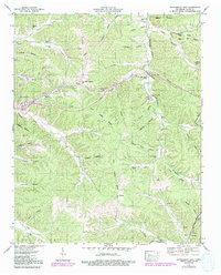
1951 Map of Waynesboro East
USGS Topo · Published 1992About this map
Waynesboro serves as the focal point for this 1950s study of central Wayne County, where the Tennessee Valley Authority and USGS documented a landscape defined by deep hollows and timbered ridges. The topography is dominated by the Dick Cabin Ridge and Fourmile Board Hill, with the winding waters of Forty-eight Creek and Hurricane Creek carving through the terrain. The map captures a moment when rural life centered on local landmarks like Liberty Ch and Mt Hope, alongside many family burial grounds including Walnut Grove Cem and Keeton Cem.
Find a feature on this map
78 named features on this map. Tap any name to fly to it.
Don’t see what you’re looking for? This feature index may not catch every label — zoom into the map to look around manually.
Map Details
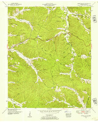
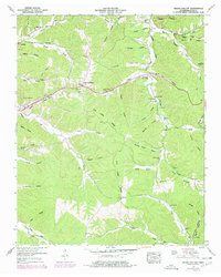
Editions of this 1951 Waynesboro East Map
3 editions found
Other maps of this area

1905 · Waynesboro
USGS Topo · 1:125,000

1936 · Riverside
USGS Topo · 1:24,000

1936 · Westpoint
USGS Topo · 1:24,000

1936 · Collinwood
USGS Topo · 1:24,000

1936 · Leatherwood
USGS Topo · 1:24,000

1936 · Negro Hollow
USGS Topo · 1:24,000

1936 · Three Churches
USGS Topo · 1:24,000

1936 · Waynesboro
USGS Topo · 1:24,000

1936 · Topsy
USGS Topo · 1:24,000

1936 · Ovilla
USGS Topo · 1:24,000