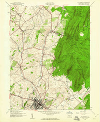
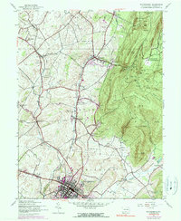
1944 Map of Waynesboro
USGS Topo · Published 1960About this map
Waynesboro serves as the industrial and residential hub of this 1944 survey, situated at the junction of the Western Maryland and the Maryland and Pennsylvania railroads. The town's layout, featuring an Armory and the nearby Waynesboro Country Club, contrasts with the agricultural and mountainous terrain to the north and east. The landscape is dotted with small rural schoolhouses, including Ryder Sch, Oak Hill School, and Blue Rock Sch, indicating a distributed network of small communities like Altenwald, Quinsonia, and Tomstown.
Find a feature on this map
63 named features on this map. Tap any name to fly to it.
Don’t see what you’re looking for? This feature index may not catch every label — zoom into the map to look around manually.
Map Details
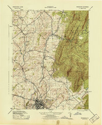
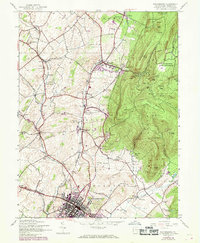
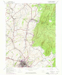
Editions of this 1944 Waynesboro Map
5 editions found
Other maps of this area

1902 · Chambersburg
USGS Topo · 1:62,500

1909 · Fairfield
USGS Topo · 1:62,500

1909 · Hagerstown
USGS Topo · 1:48,000

1911 · Emmitsburg
USGS Topo · 1:62,500

1912 · Hagerstown
USGS Topo · 1:62,500

1942 · Hagerstown
USGS Topo · 1:125,000

1942 · Gettysburg
USGS Topo · 1:125,000

1943 · Emmitsburg
USGS Topo · 1:62,500

1943 · Hagerstown
USGS Topo · 1:125,000

1943 · Chambersburg
USGS Topo · 1:62,500