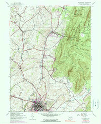
1944 Map of Waynesboro
USGS Topo · Published 1990About this map
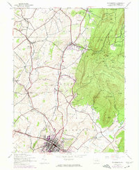
Waynesboro serves as the industrial and social anchor of this 1944 landscape, where the street grid of the borough meets the vital rail corridors of the Western Maryland and Penn Central. The map documents a transition from the agricultural lowlands of Washington and Quincy townships to the protected slopes of Mont Alto State Forest. Notable institutional footprints are evident, including the sprawling South Mountain State Sanatorium and the Mont Alto State Park. Local education and community life are well-represented through numerous rural school sites like Ryder Sch, Pigeon Hills Sch, and Grove Hill School. Along the ridge of Mont Alto Mountain, the Appalachian Trail winds past peaks like Snowy Mtn and Pine Knob, while the Waynesboro Reservoir and various springs like Chestnut Spring highlight the essential water resources of the South Mountain range.
Find a feature on this map
68 named features on this map. Tap any name to fly to it.
Don’t see what you’re looking for? This feature index may not catch every label — zoom into the map to look around manually.
Map Details
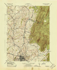
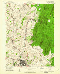
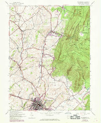
Editions of this 1944 Waynesboro Map
5 editions found
Other maps of this area

1902 · Chambersburg
USGS Topo · 1:62,500

1909 · Fairfield
USGS Topo · 1:62,500

1909 · Hagerstown
USGS Topo · 1:48,000

1911 · Emmitsburg
USGS Topo · 1:62,500

1912 · Hagerstown
USGS Topo · 1:62,500

1942 · Hagerstown
USGS Topo · 1:125,000

1942 · Gettysburg
USGS Topo · 1:125,000

1943 · Emmitsburg
USGS Topo · 1:62,500

1943 · Hagerstown
USGS Topo · 1:125,000

1943 · Chambersburg
USGS Topo · 1:62,500