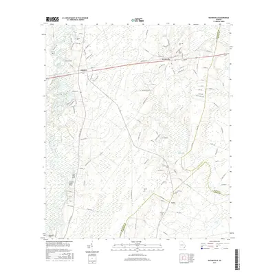
2017 Map of Waynesville
USGS Topo · Published 2017About this map
The Satilla River meanders along the western edge of this coastal plain landscape, defining a corridor of bluffs and oxbow lakes such as Abrahams Lake and Atkinson Lake. Settlements are concentrated along the primary transportation routes, with Atkinson and Waynesville situated near the corridor of the CSX Transportation railroad. The geography is characterized by an extensive network of wetlands and swamps, including the Little Satilla River Swamp and Turtle River Swamp, which dominate the eastern and southern portions of the quadrangle. Local genealogy is well-represented through numerous family-named burial sites including Ammons Cem, Highsmith Cem, and Wiggens Cem. Further south, the community of Salter sits near the intersection of the Brantley and Camden county lines, surrounded by landmarks like Lord King Bluff and Flanders Shady Bluff overlooking the river.
Find a feature on this map
125 named features on this map. Tap any name to fly to it.
Don’t see what you’re looking for? This feature index may not catch every label — zoom into the map to look around manually.
Map Details
Editions of this 2017 Waynesville Map
This is the sole edition of this map. No revisions or reprints were ever made.
Other maps of this area

1917 · Nahunta
USGS Topo · 1:62,500

1918 · Hortense
USGS Topo · 1:62,500

1918 · Everett City
USGS Topo · 1:62,500

1918 · Nahunta
USGS Topo · 1:62,500

1918 · Bladen
USGS Topo · 1:62,500

1920 · Everett City
USGS Topo · 1:62,500

1939 · Bladen
USGS Topo · 1:62,500

1944 · Everett City
USGS Topo · 1:62,500

1944 · Hortense
USGS Topo · 1:62,500

1946 · Brunswick
USGS Topo · 1:250,000