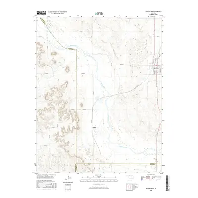
2016 Map of Waynoka West
USGS Topo · Published 2016About this map
Waynoka sits at the eastern edge of this western Oklahoma landscape, where the street grid of the town site meets the wide, braided valley of the Cimarron River. The terrain is defined by the significant hydrological network of the Cimarron and its tributaries, including Sand Cr and Dog Cr. This 2016 survey captures the boundary where three counties meet: Woods, Woodward, and Major counties.
Find a feature on this map
38 named features on this map. Tap any name to fly to it.
Don’t see what you’re looking for? This feature index may not catch every label — zoom into the map to look around manually.
Map Details
Editions of this 2016 Waynoka West Map
This is the sole edition of this map. No revisions or reprints were ever made.
Other maps of this area

1955 · Woodward
USGS Topo · 1:250,000

1958 · Woodward
USGS Topo · 1:250,000

1969 · Belva
USGS Topo · 1:24,000

1969 · Quinlan
USGS Topo · 1:24,000

1969 · Waynoka NW
USGS Topo · 1:24,000

1969 · Avard
USGS Topo · 1:24,000

1969 · Waynoka East
USGS Topo · 1:24,000

1969 · Togo
USGS Topo · 1:24,000

1969 · Waynoka West
USGS Topo · 1:24,000

1970 · Fairvalley SE
USGS Topo · 1:24,000