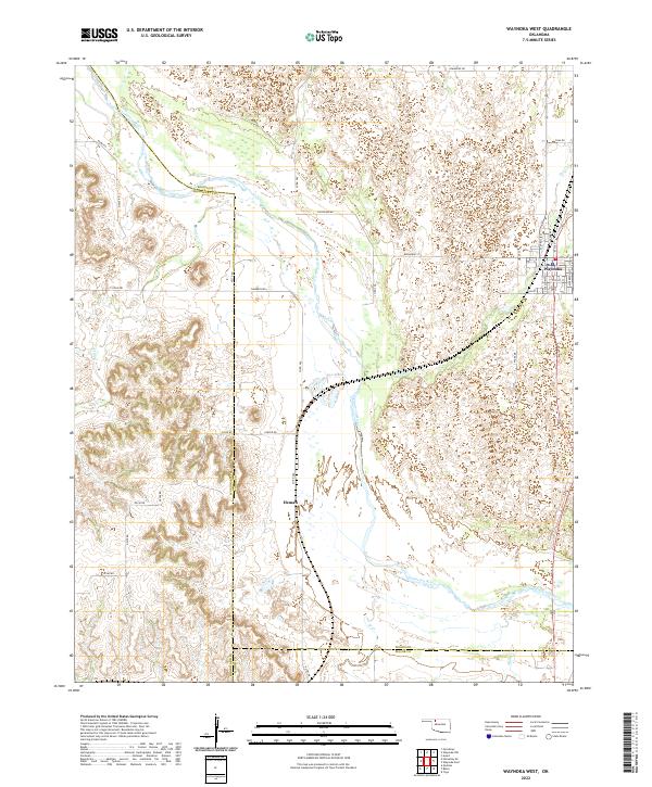
2022 Map of Waynoka West
USGS Topo · Published 2022About this map
The Cimarron River meanders across this Northwest Oklahoma landscape, defining the transition between the rolling hills of Woods County and Woodward County. Near the eastern margin, the town of Waynoka serves as a local hub, with its grid of streets including Broadway St, Main St, and Sahara Dr reflecting a community rooted in the high plains. The terrain is marked by seasonal drainage patterns, with Sand Cr and Dog Cr feeding into the river valley.
Find a feature on this map
45 named features on this map. Tap any name to fly to it.
Don’t see what you’re looking for? This feature index may not catch every label — zoom into the map to look around manually.
Map Details
Editions of this 2022 Waynoka West Map
This is the sole edition of this map. No revisions or reprints were ever made.
Other maps of this area

1955 · Woodward
USGS Topo · 1:250,000

1958 · Woodward
USGS Topo · 1:250,000

1969 · Belva
USGS Topo · 1:24,000

1969 · Quinlan
USGS Topo · 1:24,000

1969 · Waynoka NW
USGS Topo · 1:24,000

1969 · Avard
USGS Topo · 1:24,000

1969 · Waynoka East
USGS Topo · 1:24,000

1969 · Togo
USGS Topo · 1:24,000

1969 · Waynoka West
USGS Topo · 1:24,000

1970 · Fairvalley SE
USGS Topo · 1:24,000