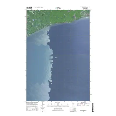
2016 Map of Wealthwood
USGS Topo · Published 2016About this map
Wealthwood sits on the northern shoreline of the massive Mille Lacs Lake in this 2016 survey of Aitkin County. The township's residential and agricultural roads, such as 385th Ave and 240th St, follow a structured grid that abruptly meets the irregular coastline at Knox Point. This modern digital landscape reflects the enduring settlement patterns established a century earlier, where the small community of Wealthwood serves as a northern anchor for the lake's recreational and local transit. To the north and west, the terrain is defined by pockets of water and marshland including Gregg Lake and Petes Lakes. Genealogists and local historians will find the location of the Black Cem near the northeastern edge of the sheet, situated near the intersection of 250th St and Clover St. The map also captures the quiet reach of Bergstrom Bay, showing how the shoreline geography dictates the path of local infrastructure along the lake's edge.
Find a feature on this map
24 named features on this map. Tap any name to fly to it.
Don’t see what you’re looking for? This feature index may not catch every label — zoom into the map to look around manually.
Map Details
Editions of this 2016 Wealthwood Map
This is the sole edition of this map. No revisions or reprints were ever made.
Other maps of this area

1912 · Deerwood
USGS Topo · 1:62,500

1914 · Deerwood
USGS Topo · 1:62,500

1916 · Wealthwood
USGS Topo · 1:62,500

1953 · Duluth
USGS Topo · 1:250,000

1958 · Duluth
USGS Topo · 1:250,000

1968 · Onamia NW
USGS Topo · 1:24,000

1968 · Wahkon North
USGS Topo · 1:24,000
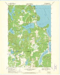
1968 · Vineland
USGS Topo · 1:24,000
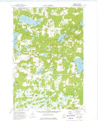
1973 · Glen
USGS Topo · 1:24,000
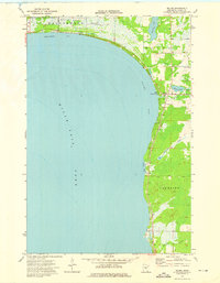
1973 · Malmo
USGS Topo · 1:24,000