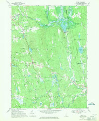
1967 Map of Weare
USGS Topo · Published 1971About this map
The Piscataquog River and its various branches define the landscape of this region during the late 1960s, a period marked by significant hydrological management. The massive Hopkinton-Everett Reservoir and the Everett Dam are central to the terrain, which is otherwise characterized by a dense network of hills and localized settlements. Small clusters of habitation like Chase Village, Tavern Village, and Riverdale are scattered across the quadrangle, connected by historical routes such as Bassett Mill Road and Dougherty Road.
Find a feature on this map
74 named features on this map. Tap any name to fly to it.
Don’t see what you’re looking for? This feature index may not catch every label — zoom into the map to look around manually.
Map Details
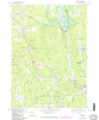
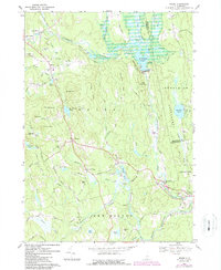
Editions of this 1967 Weare Map
3 editions found
Other maps of this area

1900 · Peterboro
USGS Topo · 1:62,500

1906 · Milford
USGS Topo · 1:62,500

1926 · Hillsboro
USGS Topo · 1:62,500

1927 · Concord
USGS Topo · 1:62,500

1929 · Hillsboro
USGS Topo · 1:62,500

1943 · Fitchburg
USGS Topo · 1:125,000

1948 · Boston
USGS Topo · 1:250,000

1949 · Portland
USGS Topo · 1:250,000

1949 · Concord
USGS Topo · 1:62,500
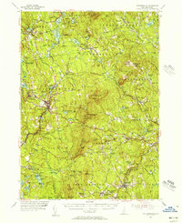
1953 · Peterborough
USGS Topo · 1:62,500