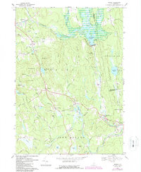
1967 Map of Weare
USGS Topo · Published 1987About this map
The Piscataquog River carves through this New Hampshire landscape, anchored by the engineering of the Everett Dam and the waters of Everett Lake. This survey captures the rural character of the region during the late 1960s, showing a network of small villages including North Weare, South Weare, and Tavern Village. Genealogy researchers will find significant value in the numerous burial grounds documented, such as the Quaker Cem and Pine Grove Cem, alongside family-named terrain like Barnard Hill and Odiorne Hill. The landscape reflects a shift from early industry to recreation and conservation, evidenced by the presence of Clough State Park and Clough State Forest. An Old Railroad Grade traces the river valley, marking the path of former transportation lines that once connected these mill towns to the larger region.
Find a feature on this map
75 named features on this map. Tap any name to fly to it.
Don’t see what you’re looking for? This feature index may not catch every label — zoom into the map to look around manually.
Map Details
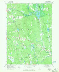
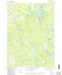
Editions of this 1967 Weare Map
3 editions found
Other maps of this area

1900 · Peterboro
USGS Topo · 1:62,500

1906 · Milford
USGS Topo · 1:62,500

1926 · Hillsboro
USGS Topo · 1:62,500

1927 · Concord
USGS Topo · 1:62,500

1929 · Hillsboro
USGS Topo · 1:62,500

1943 · Fitchburg
USGS Topo · 1:125,000

1948 · Boston
USGS Topo · 1:250,000

1949 · Portland
USGS Topo · 1:250,000

1949 · Concord
USGS Topo · 1:62,500
1953 · Peterborough
USGS Topo · 1:62,500