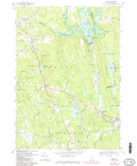
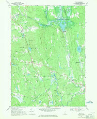
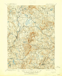
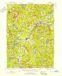
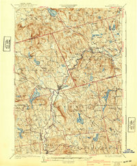
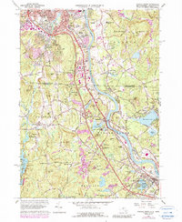
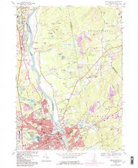
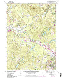
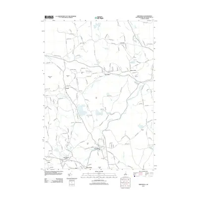
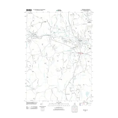
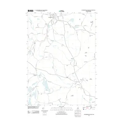
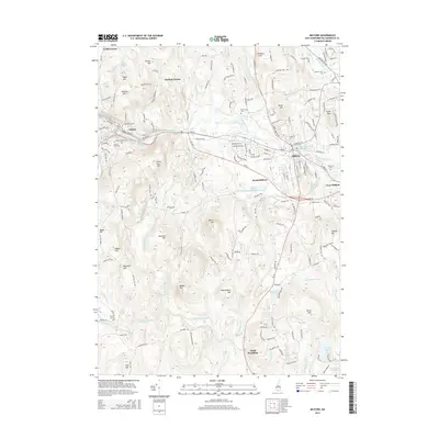
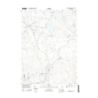
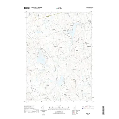
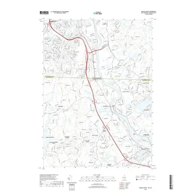
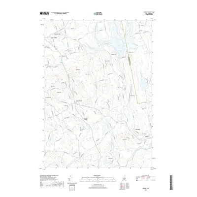
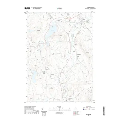
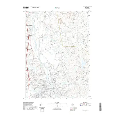
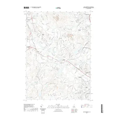
1967 Map of Weare
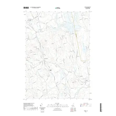
USGS Topo · Published 1985About this map
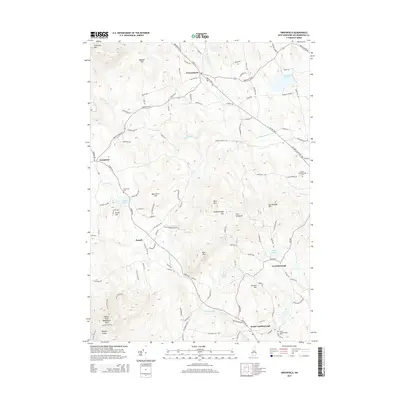
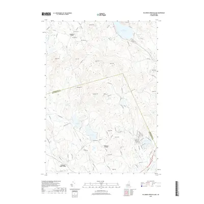
The Piscataquog River carves through this New Hampshire landscape, where the construction of the Everett Dam created Everett Lake and reshaped the local topography. This 1967 survey, later photorevised to show mid-1980s developments, reveals a network of small settlements like North Weare, Chase Village, and Tavern Village. The map is particularly rich for genealogical research, documenting numerous burial grounds including Quaker Cem, East Weare Cem, and Pine Grove Cem. Cultural landmarks such as the Quaker Meeting House and the High Sch in Weare anchor the community, while the Old Railroad Grade and River Road follow the natural contours of the river valley. The eastern edge is dominated by the Kuncanowet Hills, providing a stark contrast to the developed corridors of Riverdale and Parker to the south.
Find a feature on this map
70 named features on this map. Tap any name to fly to it.
Don’t see what you’re looking for? This feature index may not catch every label — zoom into the map to look around manually.
Map Details
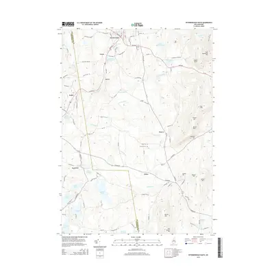
Editions of this 1967 Weare Map
3 editions found
Historical Maps of Goffstown Through Time
95 maps found
1900 Peterboro
Hillsborough County, NH

1906 Milford
Hillsborough County, NH
1926 Hillsboro
Hillsborough County, NH
1929 Hillsboro
Hillsborough County, NH
1953 Milford
Hillsborough County, NH
1953 Peterborough
Hillsborough County, NH
1957 Hillsboro
Hillsborough County, NH
1965 Nashua South
Hillsborough County, NH
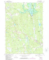
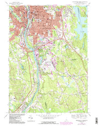
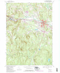
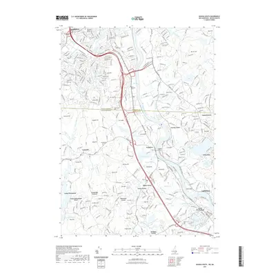
1967 Weare
Hillsborough County, NH
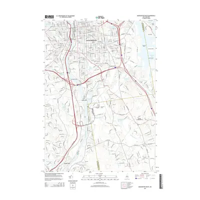
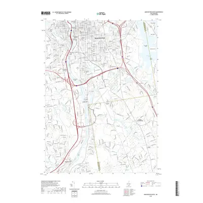
1968 Manchester South
Hillsborough County, NH
1968 Milford
Hillsborough County, NH
1968 Nashua North
Hillsborough County, NH
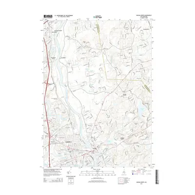
1968 South Merrimack
Hillsborough County, NH

1977 Manchester South
Hillsborough County, NH

1977 Nashua North
Hillsborough County, NH

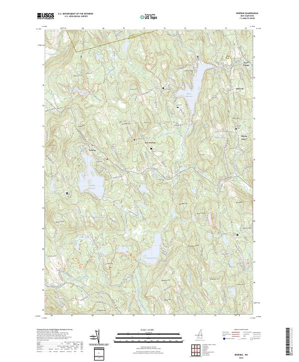
1987 Deering
Hillsborough County, NH

1987 Greenfield
Hillsborough County, NH

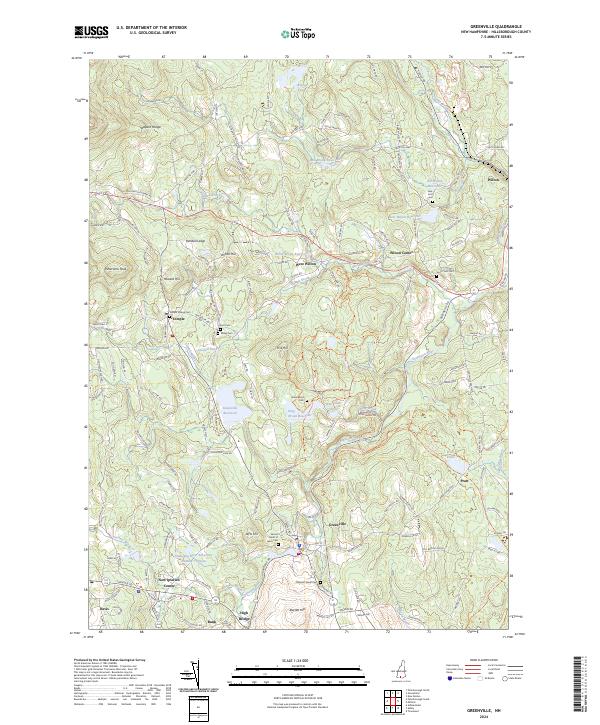
1987 Greenville
Hillsborough County, NH

1987 Hillsboro
Hillsborough County, NH

1987 Hillsboro Upper Village
Hillsborough County, NH

1987 Peterborough North
Hillsborough County, NH

1987 Peterborough South
Hillsborough County, NH

1995 Greenfield
Hillsborough County, NH

1995 Hillsboro
Hillsborough County, NH

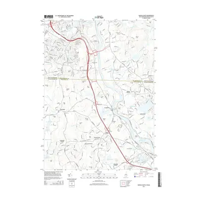
1995 Weare
Hillsborough County, NH

1997 Greenville
Hillsborough County, NH

1997 Peterborough North
Hillsborough County, NH

1997 Peterborough South
Hillsborough County, NH

1998 Deering
Hillsborough County, NH

1998 Hillsboro Upper Village
Hillsborough County, NH
2012 Deering
Hillsborough County, NH
2012 Greenfield
Hillsborough County, NH
2012 Greenville
Hillsborough County, NH
2012 Hillsboro
Hillsborough County, NH
2012 Hillsboro Upper Village
Hillsborough County, NH
2012 Manchester South
Hillsborough County, NH
2012 Milford
Hillsborough County, NH
2012 Nashua North
Hillsborough County, NH
2012 Nashua South
Hillsborough County, NH
2012 Peterborough North
Hillsborough County, NH
2012 Peterborough South
Hillsborough County, NH
2012 South Merrimack
Hillsborough County, NH
2012 Weare
Hillsborough County, NH
2015 Deering
Hillsborough County, NH
2015 Greenfield
Hillsborough County, NH
2015 Greenville
Hillsborough County, NH
2015 Hillsboro
Hillsborough County, NH
2015 Hillsboro Upper Village
Hillsborough County, NH
2015 Manchester South
Hillsborough County, NH
2015 Milford
Hillsborough County, NH
2015 Nashua North
Hillsborough County, NH
2015 Nashua South
Hillsborough County, NH
2015 Peterborough North
Hillsborough County, NH
2015 Peterborough South
Hillsborough County, NH
2015 South Merrimack
Hillsborough County, NH
2015 Weare
Hillsborough County, NH
2018 Deering
Hillsborough County, NH
2018 Greenfield
Hillsborough County, NH
2018 Greenville
Hillsborough County, NH
2018 Hillsboro
Hillsborough County, NH
2018 Hillsboro Upper Village
Hillsborough County, NH
2018 Manchester South
Hillsborough County, NH
2018 Milford
Hillsborough County, NH
2018 Nashua North
Hillsborough County, NH
2018 Nashua South
Hillsborough County, NH
2018 Peterborough North
Hillsborough County, NH
2018 Peterborough South
Hillsborough County, NH
2018 South Merrimack
Hillsborough County, NH
2018 Weare
Hillsborough County, NH
2021 Deering
Hillsborough County, NH
2021 Greenfield
Hillsborough County, NH
2021 Greenville
Hillsborough County, NH
2021 Hillsboro
Hillsborough County, NH
2021 Hillsboro Upper Village
Hillsborough County, NH
2021 Manchester South
Hillsborough County, NH
2021 Milford
Hillsborough County, NH
2021 Nashua North
Hillsborough County, NH
2021 Nashua South
Hillsborough County, NH
2021 Peterborough North
Hillsborough County, NH
2021 Peterborough South
Hillsborough County, NH
2021 South Merrimack
Hillsborough County, NH
2021 Weare
Hillsborough County, NH
2024 Deering
Hillsborough County, NH

2024 Greenfield
Hillsborough County, NH
2024 Greenville
Hillsborough County, NH

2024 Hillsboro
Hillsborough County, NH
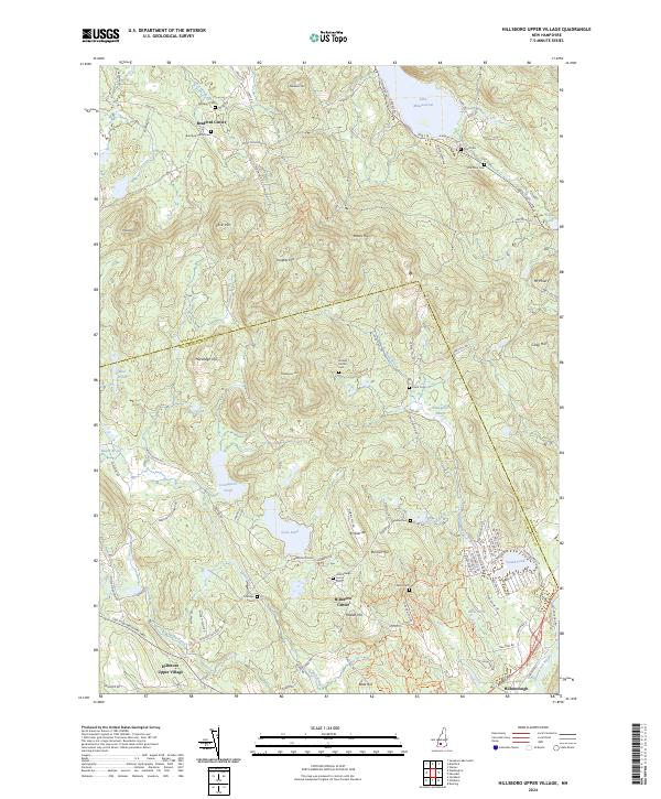
2024 Hillsboro Upper Village
Hillsborough County, NH
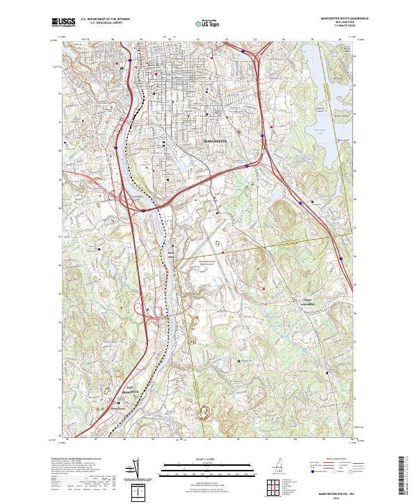
2024 Manchester South
Hillsborough County, NH
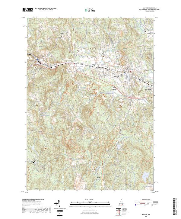
2024 Milford
Hillsborough County, NH
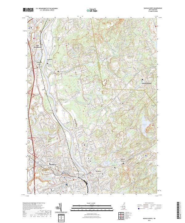
2024 Nashua North
Hillsborough County, NH
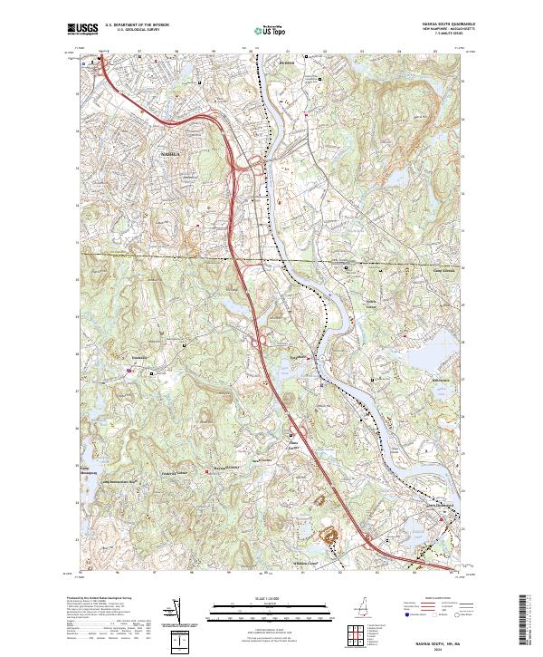
2024 Nashua South
Hillsborough County, NH

2024 Peterborough North
Hillsborough County, NH
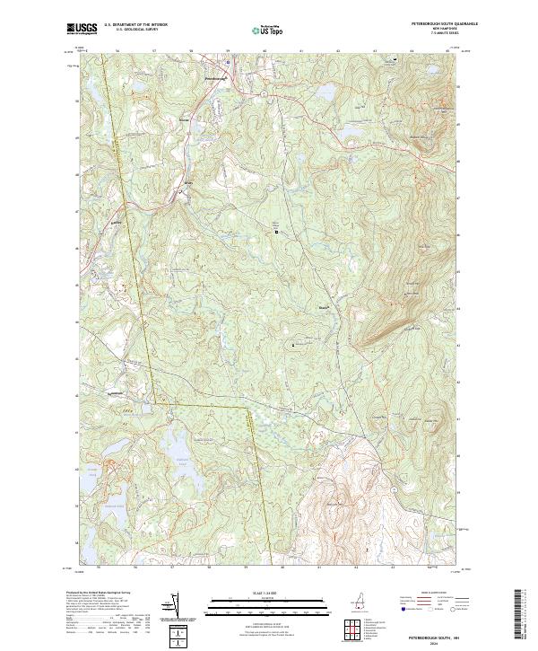
2024 Peterborough South
Hillsborough County, NH
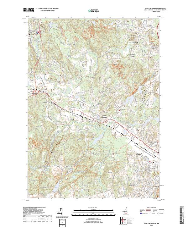
2024 South Merrimack
Hillsborough County, NH
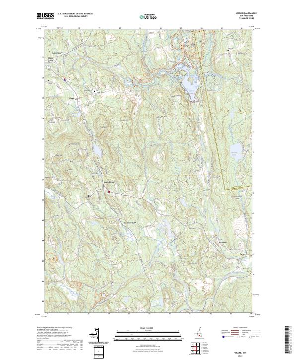
2024 Weare
Hillsborough County, NH