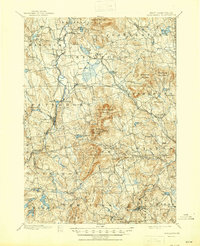
1900 Map of Peterboro
USGS Topo · Published 1945About this map
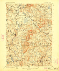
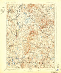
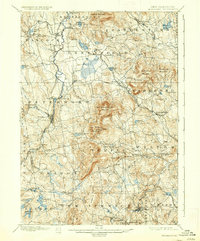
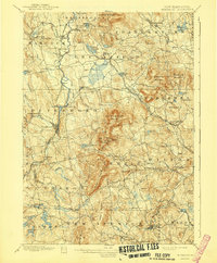
Contoocook River drainage patterns define this Southern New Hampshire landscape, where the textile and manufacturing history of the Monadnock region is evident in the cluster of mill villages like West Peterboro and Noone. The topography is dominated by the massive presence of Pack Monadnock Mountain and North Pack Monadnock Mountain, which host General Miller Park. These peaks create a dramatic vertical backdrop for the valley settlements and the winding course of the river systems.
Find a feature on this map
88 named features on this map. Tap any name to fly to it.
Don’t see what you’re looking for? This feature index may not catch every label — zoom into the map to look around manually.
Map Details
Editions of this 1900 Peterboro Map
9 editions found
Other maps of this area

1887 · Winchendon
USGS Topo · 1:62,500

1887 · Fitchburg
USGS Topo · 1:62,500

1889 · Fitchburg
USGS Topo · 1:62,500

1890 · Winchendon
USGS Topo · 1:62,500

1893 · Fitchburg
USGS Topo · 1:62,500

1893 · Groton
USGS Topo · 1:62,500

1894 · Winchendon
USGS Topo · 1:62,500

1898 · Monadnock
USGS Topo · 1:62,500

1900 · Peterboro
USGS Topo · 1:62,500

1906 · Milford
USGS Topo · 1:62,500