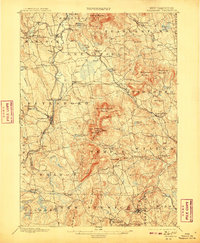
1900 Map of Peterboro
USGS Topo · Published 1908About this map
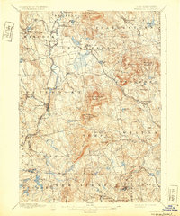
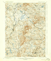
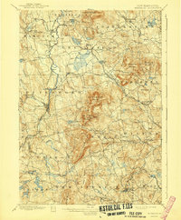
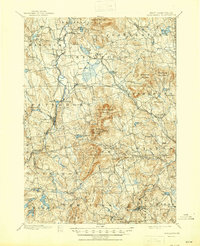
Peterboro and its surrounding hill towns define this late 19th-century landscape of south-central New Hampshire, where industry and geography converged. The Boston and Maine RR and the Fitchburg RR (Cheshire Div) weave through the river valleys, connecting manufacturing centers like West Peterboro and Greenville to the wider region. High points such as Crotched Mountain and Pack Monadnock Mountain dominate the horizon, with the latter featuring General Miller Park, highlighting the early development of protected mountain spaces.
Find a feature on this map
98 named features on this map. Tap any name to fly to it.
Don’t see what you’re looking for? This feature index may not catch every label — zoom into the map to look around manually.
Map Details
Editions of this 1900 Peterboro Map
9 editions found
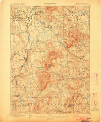
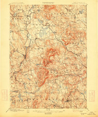
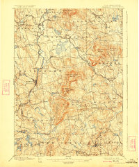
Other maps of this area

1887 · Winchendon
USGS Topo · 1:62,500

1887 · Fitchburg
USGS Topo · 1:62,500

1889 · Fitchburg
USGS Topo · 1:62,500

1890 · Winchendon
USGS Topo · 1:62,500

1893 · Fitchburg
USGS Topo · 1:62,500

1893 · Groton
USGS Topo · 1:62,500

1894 · Winchendon
USGS Topo · 1:62,500

1898 · Monadnock
USGS Topo · 1:62,500

1900 · Peterboro
USGS Topo · 1:62,500

1906 · Milford
USGS Topo · 1:62,500