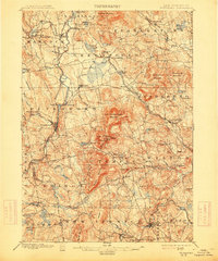
1900 Map of Peterboro
USGS Topo · Published 1914About this map
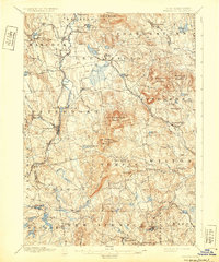
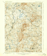
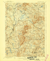
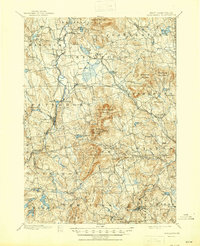
The Contoocook River and Souhegan River carve through this upland landscape of southern New Hampshire, anchoring a series of mill villages and mountain settlements. Two distinct lines of the Boston and Maine RR (Peterboro Branch) and Keene Branch converge at Peterboro, illustrating the region's late 19th-century reliance on rail for commerce and travel. The terrain is dominated by the massive ridge of Pack Monadnock Mountain, where General Miller Park sits near the summit, and the long profile of Temple Mountain to the south. Small hamlets like West Peterboro, Noone, and South Lyndeboro appear as clusters of activity along the waterways, while the presence of Lithia Spring near Temple suggests the era's local interest in mineral waters. The map captures a transition between the industrial valley floors and the scattered hill farms surrounding landmarks like Crotched Mountain and Barrett Mountain.
Find a feature on this map
99 named features on this map. Tap any name to fly to it.
Don’t see what you’re looking for? This feature index may not catch every label — zoom into the map to look around manually.
Map Details
Editions of this 1900 Peterboro Map
9 editions found
Other maps of this area

1887 · Winchendon
USGS Topo · 1:62,500

1887 · Fitchburg
USGS Topo · 1:62,500

1889 · Fitchburg
USGS Topo · 1:62,500

1890 · Winchendon
USGS Topo · 1:62,500

1893 · Fitchburg
USGS Topo · 1:62,500

1893 · Groton
USGS Topo · 1:62,500

1894 · Winchendon
USGS Topo · 1:62,500

1898 · Monadnock
USGS Topo · 1:62,500

1900 · Peterboro
USGS Topo · 1:62,500

1906 · Milford
USGS Topo · 1:62,500