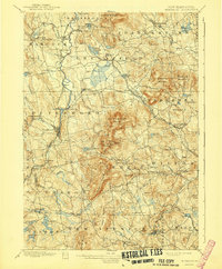
1900 Map of Peterboro
USGS Topo · Published 1941About this map
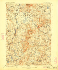
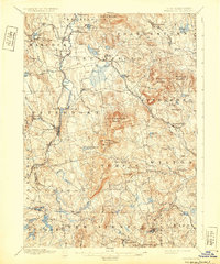
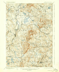
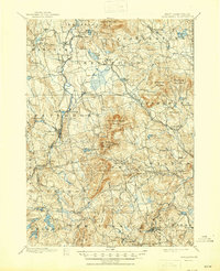
The Contoocook River and its numerous tributaries define the industrial and agricultural rhythm of Hillsborough County at the close of the 19th century. Surveyed in 1897, the landscape is dominated by the massive ridge of Pack Monadnock Mountain and North Pack Monadnock Mountain, where General Miller Park sits as a high-altitude landmark. The rail network is particularly dense here, featuring the Peterboro and Hillsboro RR and the Keene and Nashua RR, which facilitated movement between manufacturing centers like Peterboro and West Peterboro. Along the Souhegan River and the small valley settlements of Greenville and Wilton Center, the map reveals a complex web of local roads and family-named hills. Small water bodies like Otter Lake and Norway Pond dot the terrain, reflecting the post-glacial topography of southern New Hampshire before modern development altered these rural corridors.
Find a feature on this map
99 named features on this map. Tap any name to fly to it.
Don’t see what you’re looking for? This feature index may not catch every label — zoom into the map to look around manually.
Map Details
Editions of this 1900 Peterboro Map
9 editions found
Other maps of this area

1887 · Winchendon
USGS Topo · 1:62,500

1887 · Fitchburg
USGS Topo · 1:62,500

1889 · Fitchburg
USGS Topo · 1:62,500

1890 · Winchendon
USGS Topo · 1:62,500

1893 · Fitchburg
USGS Topo · 1:62,500

1893 · Groton
USGS Topo · 1:62,500

1894 · Winchendon
USGS Topo · 1:62,500

1898 · Monadnock
USGS Topo · 1:62,500

1900 · Peterboro
USGS Topo · 1:62,500

1906 · Milford
USGS Topo · 1:62,500