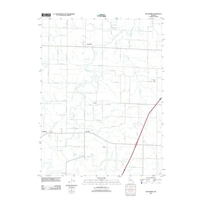
2012 Map of Weatherby
USGS Topo · Published 2012About this map
Santa Rosa and Alta Vista sit within a landscape defined by the branching tributaries of the Grand River basin, primarily Grindstone Creek and Muddy Creek. The rural character of this region is punctuated by family and community history markers, notably the Brownsdale Post Office in the east and a trio of burial grounds including Muddy Cemetery, Cope Cemetery, and Reid Cemetery. This 2012 survey illustrates the modern road network, such as Highway KK, layered over an older settlement pattern where small towns like Weatherby grew alongside local watercourses. The drainage of Owl Creek, Irvins Branch, and Noll Branch reveals the complex local topography that has dictated farmstead placement and road routes for generations. This map captures the area as a stable agricultural corridor, preserving the locations of these named communities and landmarks for local researchers and genealogists.
Find a feature on this map
59 named features on this map. Tap any name to fly to it.
Don’t see what you’re looking for? This feature index may not catch every label — zoom into the map to look around manually.
Map Details
Editions of this 2012 Weatherby Map
This is the sole edition of this map. No revisions or reprints were ever made.
Other maps of this area

1923 · Maysville
USGS Topo · 1:62,500

1924 · Winston
USGS Topo · 1:62,500

1925 · Pattonsburg
USGS Topo · 1:62,500

1925 · Maysville
USGS Topo · 1:62,500

1925 · Darlington
USGS Topo · 1:62,500

1944 · Pattonsburg
USGS Topo · 1:62,500

1946 · Pattonsburg
USGS Topo · 1:48,000

1948 · Pattonsburg
USGS Topo · 1:62,500

1950 · Kansas City
USGS Topo · 1:250,000

1950 · Darlington
USGS Topo · 1:62,500