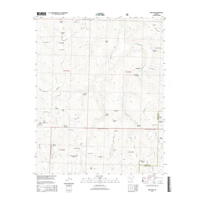
2014 Map of Weathers
USGS Topo · Published 2014About this map
The Kings River flows northward through this section of the Ozarks, carving a deep valley that dictates the placement of small settlements and isolated farmsteads. Near the northern boundary, the Reynolds community and the Ozark Skies Airpark sit atop the high ground of Reynolds Mtn, while further east, Weathers serves as a local landmark. The terrain is defined by a dense network of hollows, including McKnight Hollow, Williams Hollow, and Stone Jar Hollow, which feed the river and its many tributaries like Felkins Cr and Gusses Cr.
Find a feature on this map
70 named features on this map. Tap any name to fly to it.
Don’t see what you’re looking for? This feature index may not catch every label — zoom into the map to look around manually.
Map Details
Editions of this 2014 Weathers Map
This is the sole edition of this map. No revisions or reprints were ever made.
Other maps of this area

1900 · Eureka Springs
USGS Topo · 1:125,000

1901 · Eureka Springs
USGS Topo · 1:125,000

1904 · Harrison
USGS Topo · 1:125,000

1905 · Harrison
USGS Topo · 1:125,000

1945 · Harrison
USGS Topo · 1:250,000

1949 · Harrison
USGS Topo · 1:250,000

1954 · Harrison
USGS Topo · 1:250,000

1956 · Russellville
USGS Topo · 1:250,000

1958 · Harrison
USGS Topo · 1:250,000

1964 · Russellville
USGS Topo · 1:250,000