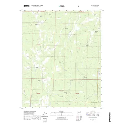
2020 Map of Weathers
USGS Topo · Published 2020About this map
Kings River carves a deep valley through this portion of the Ozark National Forest, where the terrain is defined by a succession of ridges and named hollows. The small settlements of Reynolds, Venus, and Weathers serve as the primary anchors for the local road network, which includes Co Rd 156 and Madison 3500. For family history researchers, the map identifies several well-spaced burial sites including Mount Olive Cem, Eagle Gap Cem, and Dripping Springs Cem. The landscape is notably punctuated by prominent peaks such as Penitentiary Mtn, Venus Mtn, and Reynolds Mtn. In the northern section, the Ozark Skies Airpark provides a modern contrast to the traditional rural landscape of timber and topography, while the eastern boundary tracks the divide between Madison Co and Newton County.
Find a feature on this map
61 named features on this map. Tap any name to fly to it.
Don’t see what you’re looking for? This feature index may not catch every label — zoom into the map to look around manually.
Map Details
Editions of this 2020 Weathers Map
This is the sole edition of this map. No revisions or reprints were ever made.
Other maps of this area

1900 · Eureka Springs
USGS Topo · 1:125,000

1901 · Eureka Springs
USGS Topo · 1:125,000

1904 · Harrison
USGS Topo · 1:125,000

1905 · Harrison
USGS Topo · 1:125,000

1945 · Harrison
USGS Topo · 1:250,000

1949 · Harrison
USGS Topo · 1:250,000

1954 · Harrison
USGS Topo · 1:250,000

1956 · Russellville
USGS Topo · 1:250,000

1958 · Harrison
USGS Topo · 1:250,000

1964 · Russellville
USGS Topo · 1:250,000