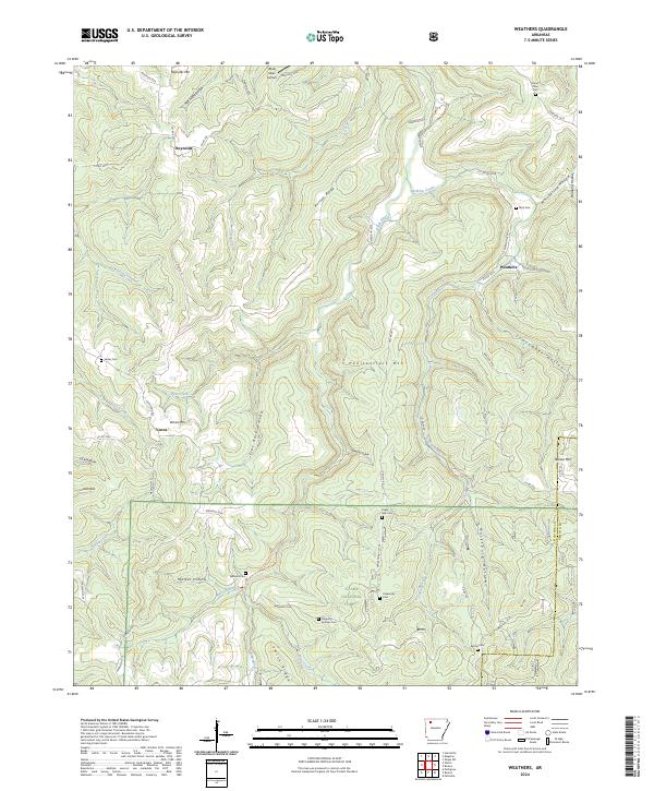
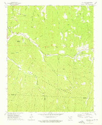
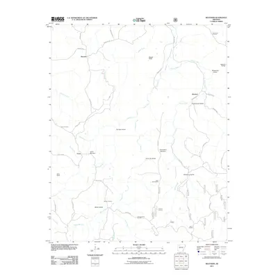
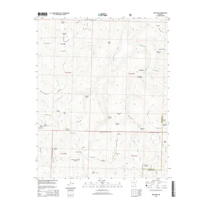
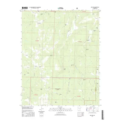
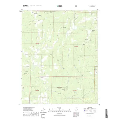
2024 Map of Weathers
USGS Topo · Published 2024About this map
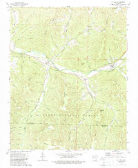
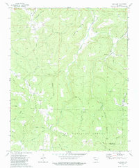
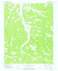
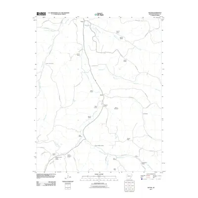
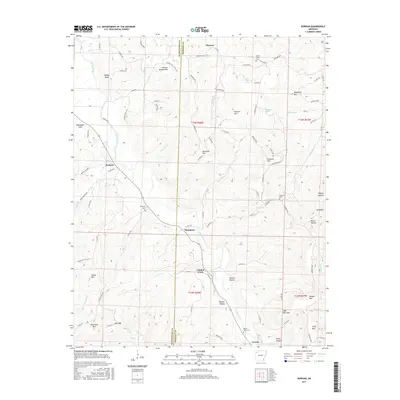
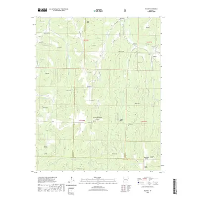
Ozark National Forest covers much of this Madison County landscape, where deep hollows like McKnight Hollow and Stone Jar Hollow carve into the high ridges of the Boston Mountains. The terrain is defined by prominent elevations such as Penitentiary Mtn and Reynolds Mtn, which overlook a network of watercourses including the Kings River and Felkins Creek. Small settlements and family gathering points are scattered throughout the hills, connected by local routes like Co Rd 156 and Madison 3160.
Find a feature on this map
73 named features on this map. Tap any name to fly to it.
Don’t see what you’re looking for? This feature index may not catch every label — zoom into the map to look around manually.
Map Details
Editions of this 2024 Weathers Map
This is the sole edition of this map. No revisions or reprints were ever made.
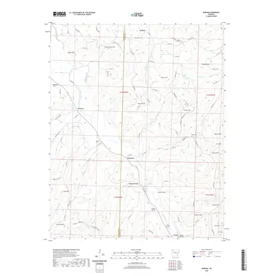
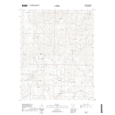
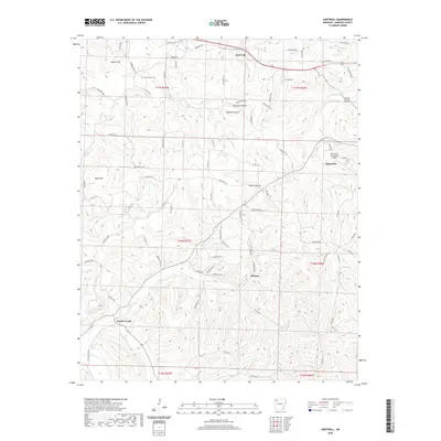
Historical Maps of Reynolds Through Time
60 maps found
1973 Boston
Madison County, AR
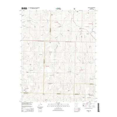
1973 Delaney
Madison County, AR
1973 Durham
Madison County, AR
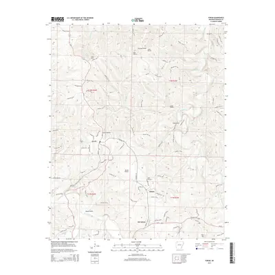
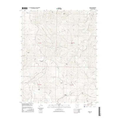
1973 Forum
Madison County, AR
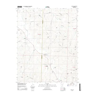
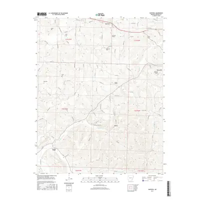
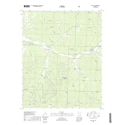
1973 Hartwell
Madison County, AR
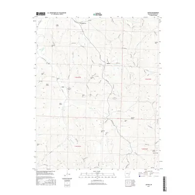
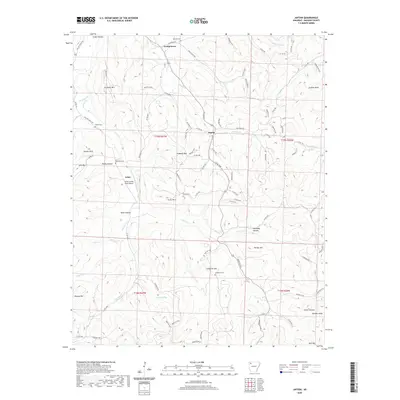
1973 Japton
Madison County, AR
1973 Pettigrew
Madison County, AR
1973 St Paul
Madison County, AR
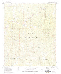
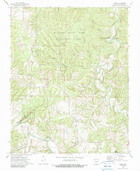
1973 Weathers
Madison County, AR
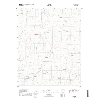
1973 Witter
Madison County, AR
2011 Boston
Madison County, AR
2011 Delaney
Madison County, AR
2011 Durham
Madison County, AR
2011 Forum
Madison County, AR
2011 Hartwell
Madison County, AR
2011 Japton
Madison County, AR
2011 Pettigrew
Madison County, AR
2011 Saint Paul
Madison County, AR
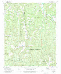
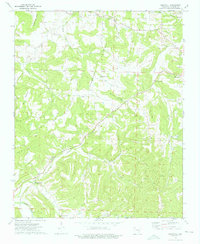
2011 Weathers
Madison County, AR
2011 Witter
Madison County, AR

2014 Boston
Madison County, AR
2014 Delaney
Madison County, AR
2014 Durham
Madison County, AR
2014 Forum
Madison County, AR
2014 Hartwell
Madison County, AR
2014 Japton
Madison County, AR
2014 Pettigrew
Madison County, AR
2014 Saint Paul
Madison County, AR
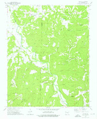
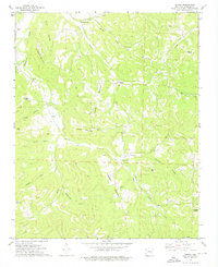
2014 Weathers
Madison County, AR
2014 Witter
Madison County, AR
2017 Boston
Madison County, AR
2017 Delaney
Madison County, AR
2017 Durham
Madison County, AR
2017 Forum
Madison County, AR
2017 Hartwell
Madison County, AR
2017 Japton
Madison County, AR
2017 Pettigrew
Madison County, AR
2017 Saint Paul
Madison County, AR
2017 Weathers
Madison County, AR
2017 Witter
Madison County, AR

2020 Boston
Madison County, AR
2020 Delaney
Madison County, AR
2020 Durham
Madison County, AR
2020 Forum
Madison County, AR
2020 Hartwell
Madison County, AR
2020 Japton
Madison County, AR
2020 Pettigrew
Madison County, AR
2020 Saint Paul
Madison County, AR
2020 Weathers
Madison County, AR
2020 Witter
Madison County, AR
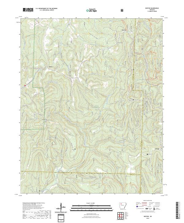
2024 Boston
Madison County, AR
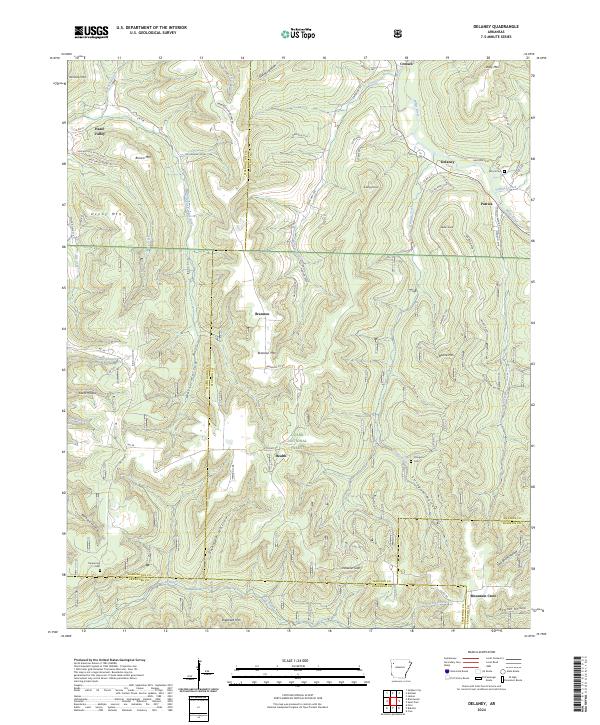
2024 Delaney
Madison County, AR
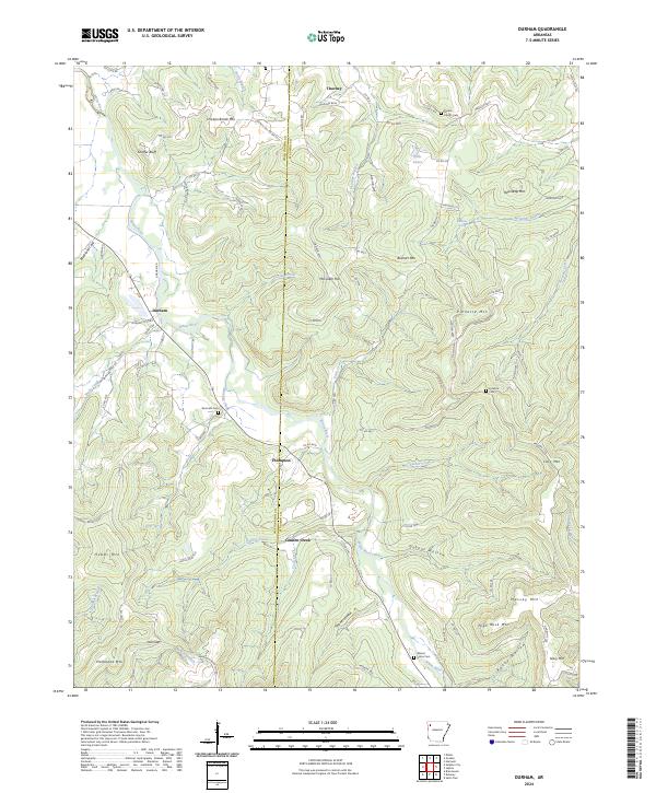
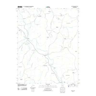
2024 Durham
Madison County, AR
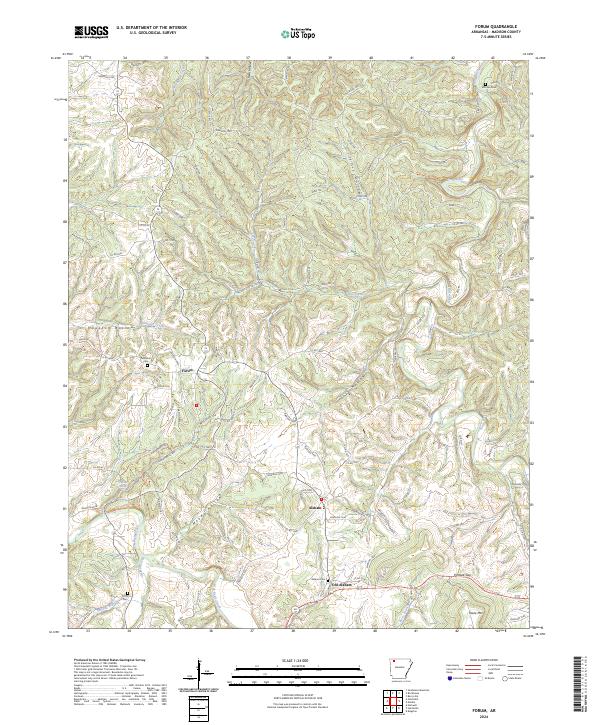
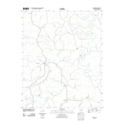
2024 Forum
Madison County, AR
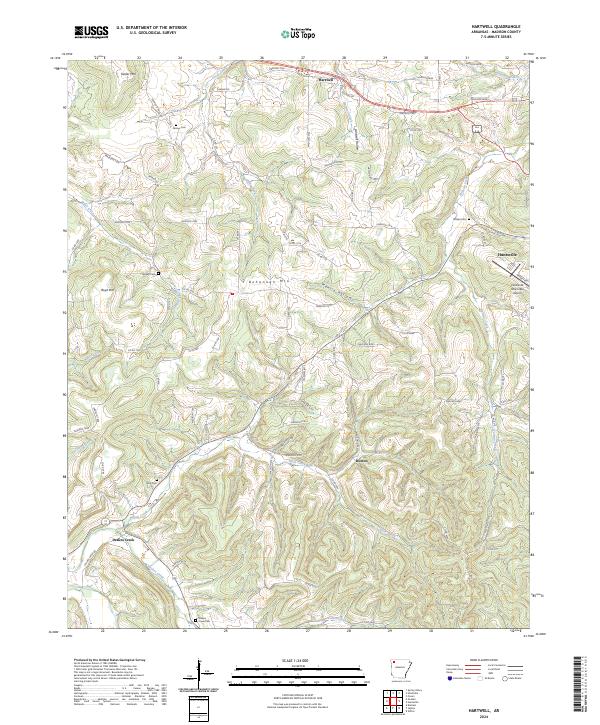
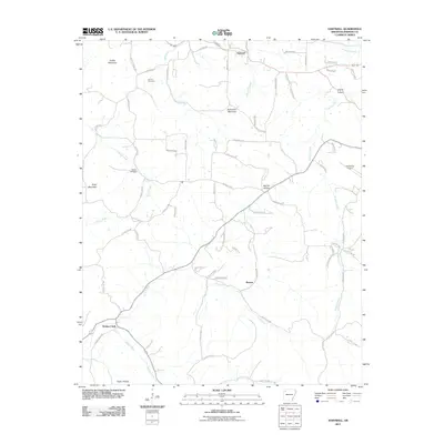
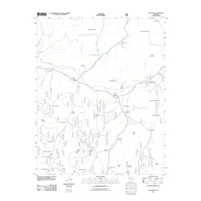
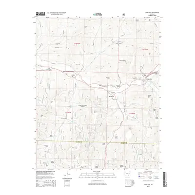
2024 Hartwell
Madison County, AR
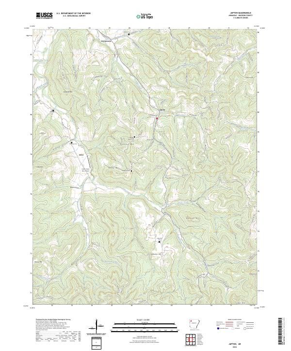
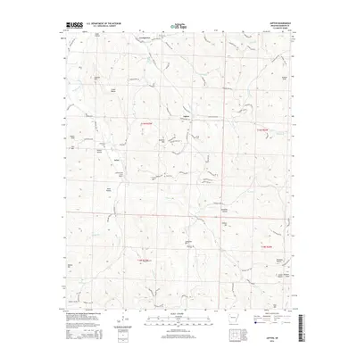
2024 Japton
Madison County, AR
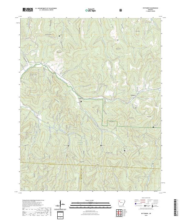
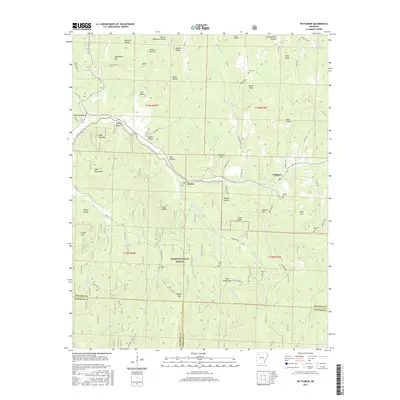
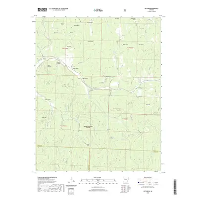
2024 Pettigrew
Madison County, AR
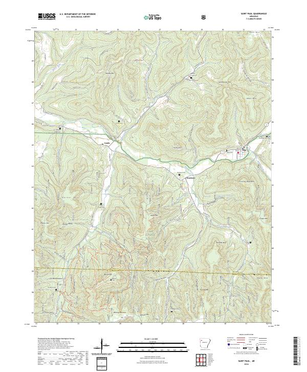
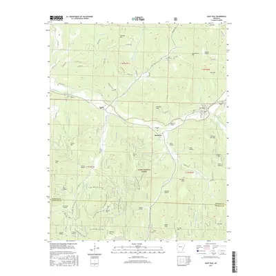
2024 Saint Paul
Madison County, AR
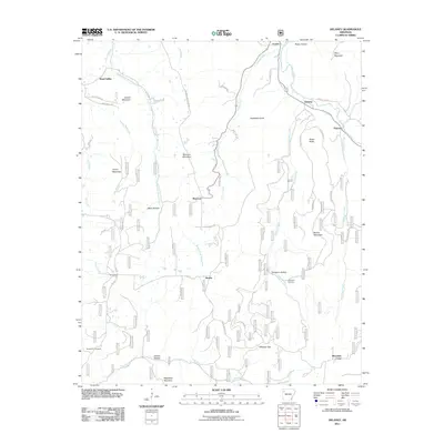
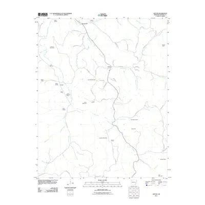
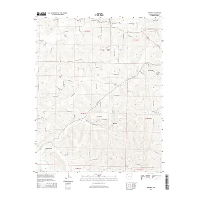
2024 Weathers
Madison County, AR
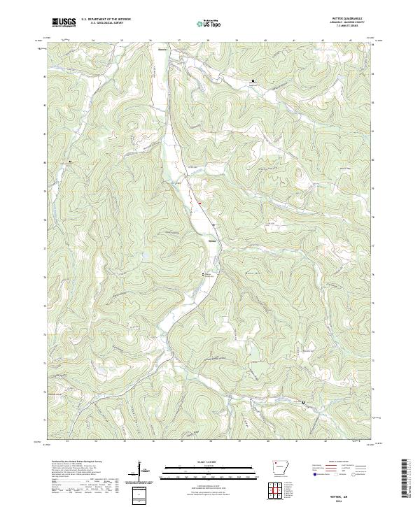
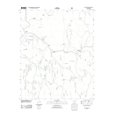
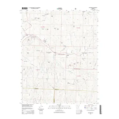
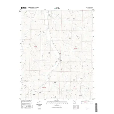
2024 Witter
Madison County, AR