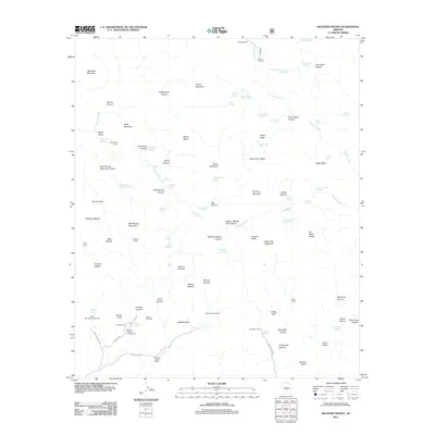
2011 Map of Weavers Needle
USGS Topo · Published 2011About this map
Weavers Needle and Miners Needle dominate this high-desert landscape in Arizona, serving as dramatic focal points for a network of springs and canyons that have long drawn explorers and ranchers. In 2011, the area retains its wilderness character, with evidence of human occupation centered around isolated camps and ranching outposts like Tortilla Ranch and the Quarter Circle U Ranch. The map traces the rugged drainage patterns of La Barge Creek and Tortilla Creek, punctuated by vital water sources such as Charlebois Spring and Lost Dutch Spring. For those studying the region's recreational and ranching history, the map identifies numerous established sites including Dons Camp, Peralta Canyon Campground, and Williams Camp. The presence of the Peralta Trailhead and Tortilla Trailhead underscores the area's continued use as a base for backcountry travel near landmark terrain features like Bluff Spring Mountain and Barkley Basin.
Find a feature on this map
96 named features on this map. Tap any name to fly to it.
Don’t see what you’re looking for? This feature index may not catch every label — zoom into the map to look around manually.
Map Details
Editions of this 2011 Weavers Needle Map
This is the sole edition of this map. No revisions or reprints were ever made.
Other maps of this area

1900 · Florence
USGS Topo · 1:125,000

1902 · Florence
USGS Topo · 1:125,000

1907 · Roosevelt
USGS Topo · 1:125,000

1909 · Four Peaks
USGS Topo · 1:125,000

1912 · Roosevelt
USGS Topo · 1:125,000

1948 · Superior
USGS Topo · 1:62,500

1948 · Iron Mountain
USGS Topo · 1:24,000

1948 · Picketpost Mtn
USGS Topo · 1:24,000

1949 · Iron Mountain
USGS Topo · 1:24,000

1949 · Picketpost Mtn
USGS Topo · 1:24,000