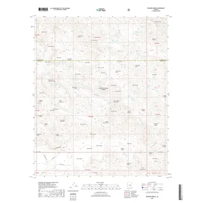
2018 Map of Weavers Needle
USGS Topo · Published 2018About this map
The Superstition Mountains dominate this landscape within the Tonto National Forest, where the iconic volcanic plug of Weavers Needle serves as a central landmark. The terrain is defined by a complex network of drainages and high plateaus, including Peters Mesa and Marsh Valley, separated by deep cuts like Needle Canyon and La Barge Canyon. This area of the Arizona backcountry is heavily marked by its water sources, with numerous named seeps such as Miller Tunnel Number One Spring, Indian Spring, and Night Hawk Spring providing critical points of reference in the arid environment. A notable human element in this wilderness is the Lost Gold Mine, situated near the southern boundary of the quadrangle. The map captures the meeting point of Maricopa and Pinal counties, showing how primitive routes like Peralta Rd and E Gold Rush Rd provide access to the base of the mountains.
Find a feature on this map
108 named features on this map. Tap any name to fly to it.
Don’t see what you’re looking for? This feature index may not catch every label — zoom into the map to look around manually.
Map Details
Editions of this 2018 Weavers Needle Map
This is the sole edition of this map. No revisions or reprints were ever made.
Other maps of this area

1900 · Florence
USGS Topo · 1:125,000

1902 · Florence
USGS Topo · 1:125,000

1907 · Roosevelt
USGS Topo · 1:125,000

1909 · Four Peaks
USGS Topo · 1:125,000

1912 · Roosevelt
USGS Topo · 1:125,000

1948 · Superior
USGS Topo · 1:62,500

1948 · Iron Mountain
USGS Topo · 1:24,000

1948 · Picketpost Mtn
USGS Topo · 1:24,000

1949 · Iron Mountain
USGS Topo · 1:24,000

1949 · Picketpost Mtn
USGS Topo · 1:24,000